Transport Functions
Port
Airport
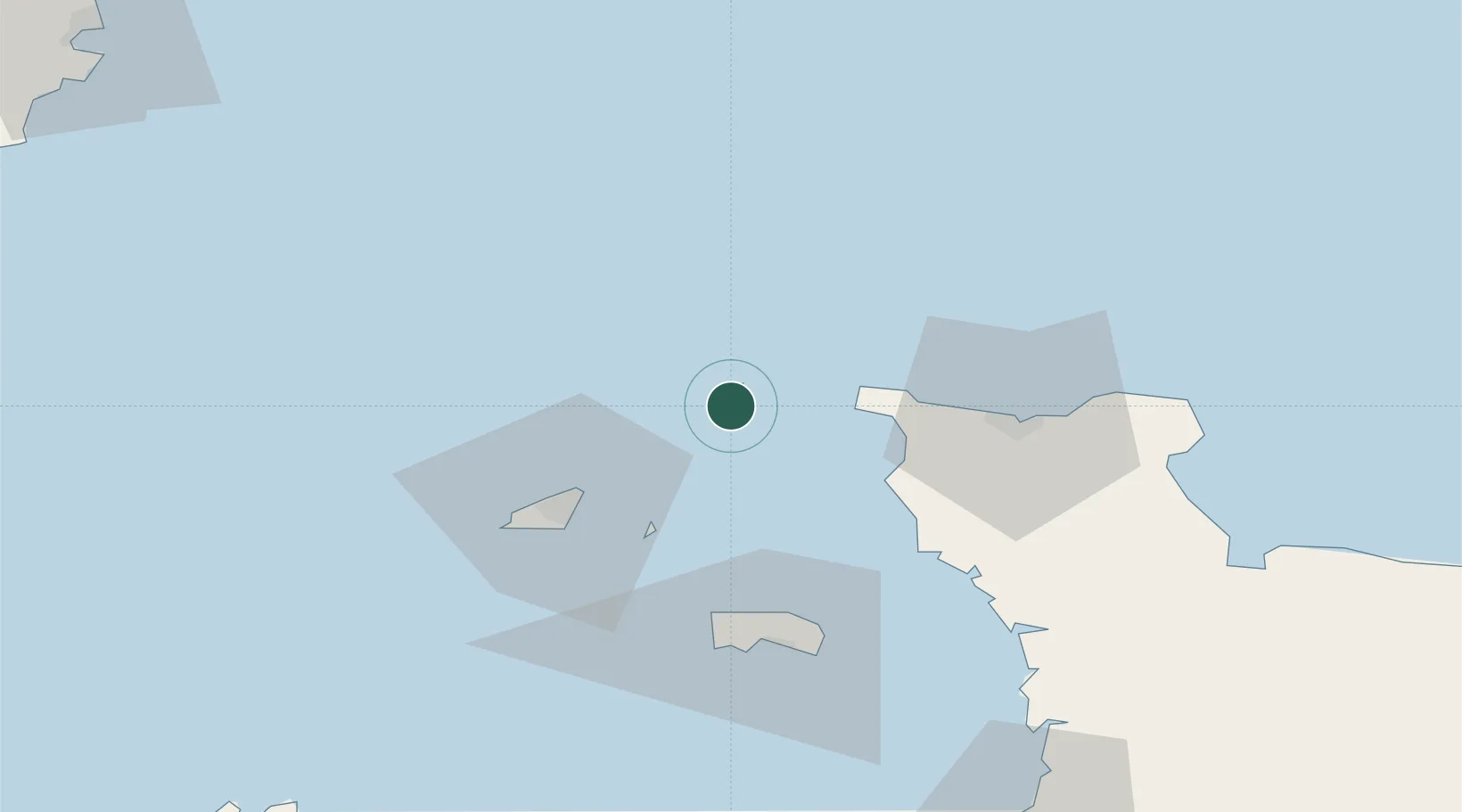
Location
Nearby Logistics Neighbours
Cities
- 1La Hague28 km
- 2Sark30 km
- 3Les Pieux34 km
- 4Saint Peter Port35 km
- 5Querqueville36 km
Ports
- 1Saint Sampson32 km
- 2Saint Peter Port35 km
- 3Rade De Cherbourg41 km
- 4Saint Helier Harbour56 km
- 5Portland Harbour101 km
Airports
- 1Alderney Airport3 km
- 2Guernsey Airport40 km
- 3Cherbourg Manche airport53 km
- 4Jersey Airport53 km
- 5Granville Airport100 km
Trade Zones
- 1ZFU Cherbourg-Octeville39 km
- 2Dorset Innovation Park111 km
- 3ZFU La Guérinière, La Grâce de Dieu141 km
- 4ZFU Hérouville-Saint-Clair144 km
- 5Southampton Free Zone147 km
DatabookThe Record of Consolidated Knowledge
Guernsey beyond logistics?