Free Trade Zone · United Kingdom

Southampton Free Zone Inactive
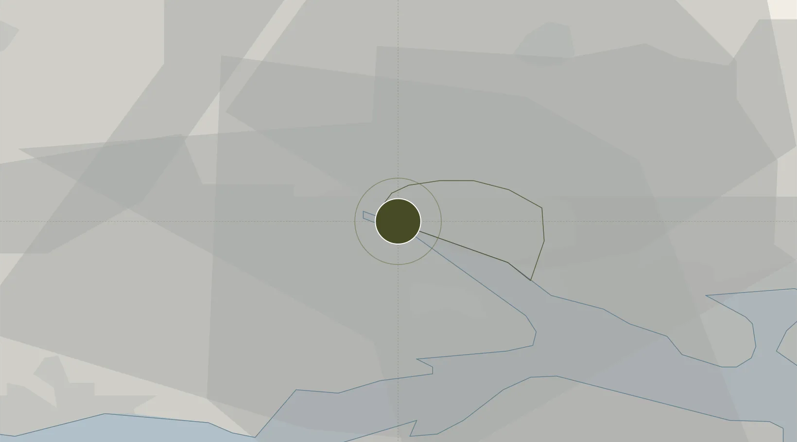
50.9092°, -1.4354°
3 ha
Zone area
2.7 km
Nearest port
7.2 km
Nearest airport

Gateway access

Nearest neighbours — logibook spatial index (haversine) over the source coordinates

Zone profile

Zone type
Free Trade Zone
Open Zone Map
Region
Southampton
Open Zone Map
Status
Inactive
Open Zone Map
Management
Public-Private Partnership
Open Zone Map
Operator
Mersey Docks and Harbour Company
Open Zone Map
Legal framework
Control Type II Free Zone - The Free Zone (Southampton) Designation Order 2001
Open Zone Map

Location

Location of ozm-4711
Natural Earth 10m (public domain) · Southampton · ozm-4711 · 50.91, -1.44GoogleOSMYandex

Nearby Logistics Neighbours

Ports
  1. 1Southampton3 km
  2. 2Fawley Marine Terminal13 km
  3. 3Cowes Harbour19 km
  4. 4Yarmouth Harbour24 km
  5. 5Portsmouth Harbour27 km
Nearest neighbours — logibook spatial index (haversine) over the source coordinates
Airports
  1. 1Southampton Airport7 km
  2. 2Bournemouth Airport32 km
  3. 3MoD Boscombe Down35 km
  4. 4Lasham Airfield42 km
  5. 5RAF Odiham50 km
Nearest neighbours — logibook spatial index (haversine) over the source coordinates
Cities
  1. 1Southampton1 km
  2. 2Marchwood3 km
  3. 3Eling4 km
  4. 4North Baddesley6 km
  5. 5Beaulieu10 km
Nearest neighbours — logibook spatial index (haversine) over the source coordinates
Trade Zones
  1. 1EZ³ Enterprise Zone24 km
  2. 2Solent Enterprise Zone26 km
  3. 3Dorset Innovation Park63 km
  4. 4Thames Valley Business Growth Hub Berkshire74 km
  5. 5Science Vale Oxfordshire Enterprise Zone82 km
Nearest neighbours — logibook spatial index (haversine) over the source coordinates
DatabookThe Record of Consolidated Knowledge
United Kingdom beyond logistics?
Browse databook

All Sources

Trade ZonesOpen Zone Map
CC BY
Portsthe NGA World Port Index
Public domain (US gov)
AirportsOurAirports
Public domain
LocationsUN/LOCODE
UN/LOCODE — free
← United Kingdom trade zones