Transport Functions
Port
Road
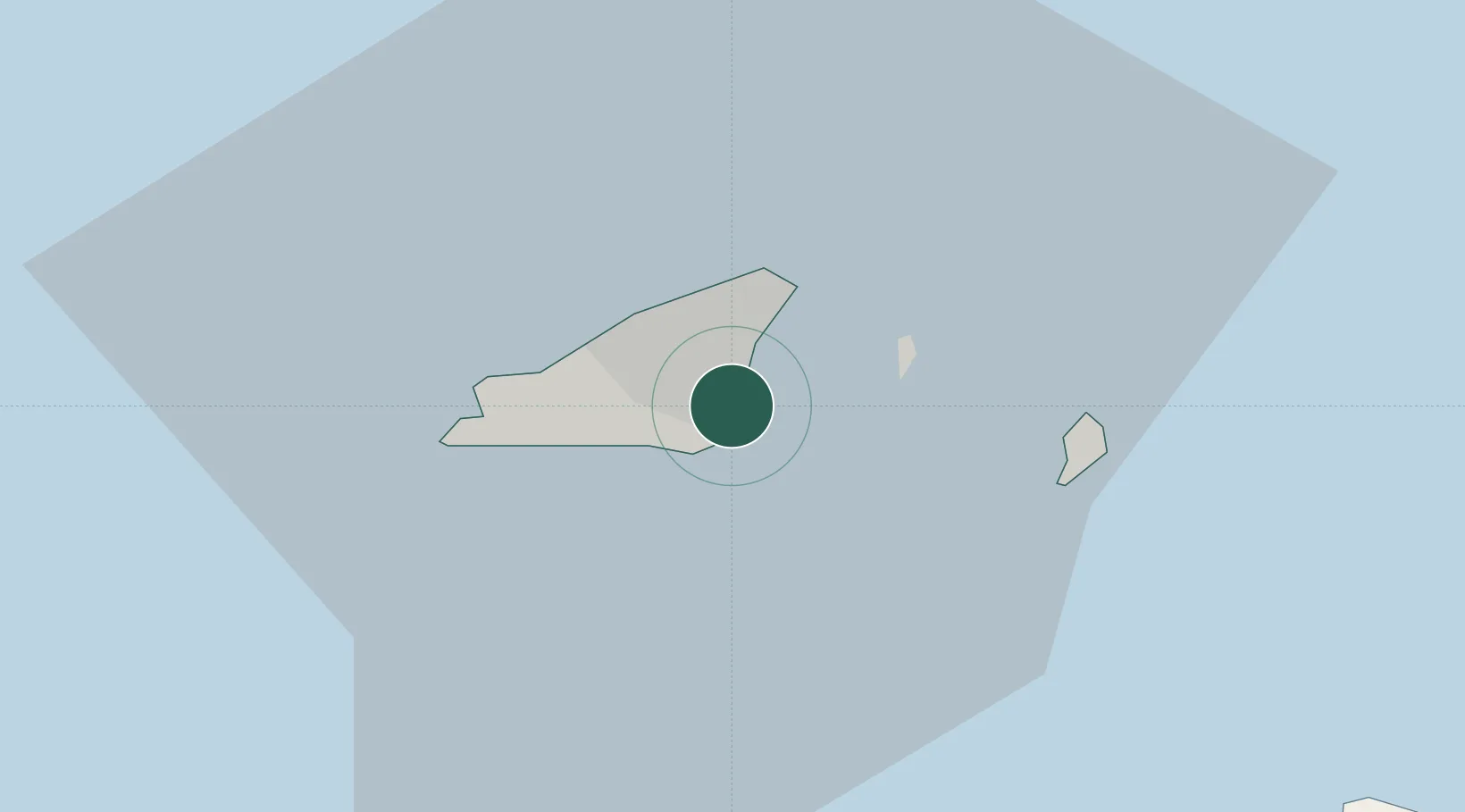
Location
Nearby Logistics Neighbours
Cities
- 1Saint Peter Port1 km
- 2Guernsey4 km
- 3Sark12 km
- 4Alderney35 km
- 5Saint Ouen35 km
Ports
- 1Saint Peter Port0 km
- 2Saint Sampson4 km
- 3Alderney Harbour40 km
- 4Saint Helier Harbour42 km
- 5Rade De Cherbourg69 km
Airports
- 1Guernsey Airport5 km
- 2Jersey Airport36 km
- 3Alderney Airport37 km
- 4Cherbourg Manche airport80 km
- 5Granville Airport95 km
Trade Zones
DatabookThe Record of Consolidated Knowledge
United Kingdom beyond logistics?