Economic Revitalization Project · United Kingdom

Exeter & East Devon Enterprise Zone Active
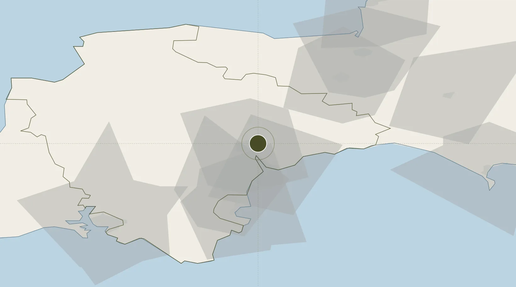
50.7315°, -3.4559°
25 ha
Zone area
20.4 km
Nearest port
3.0 km
Nearest airport

Gateway access

Nearest neighbours — logibook spatial index (haversine) over the source coordinates

Zone profile

Zone type
Economic Revitalization Project
Open Zone Map
Region
Devon
Open Zone Map
Status
Active
Open Zone Map
Management
Public-Private Partnership
Open Zone Map
Operator
Heart of the South West Local Enterprise Partnership
Open Zone Map
Legal framework
Local Government, Planning and Land Act 1980
Open Zone Map

Location

Location of ozm-4674
Natural Earth 10m (public domain) · Devon · ozm-4674 · 50.73, -3.46GoogleOSMYandex

Nearby Logistics Neighbours

Ports
  1. 1Teignmouth Harbour20 km
  2. 2Torquay Harbour30 km
  3. 3Brixham Harbour37 km
  4. 4Dartmouth Harbour44 km
  5. 5Bridport Harbour49 km
Nearest neighbours — logibook spatial index (haversine) over the source coordinates
Airports
  1. 1Exeter International Airport3 km
  2. 2Royal Marines Base Chivenor63 km
  3. 3RNAS Yeovilton65 km
  4. 4Cardiff International Airport74 km
  5. 5MOD St Athan75 km
Nearest neighbours — logibook spatial index (haversine) over the source coordinates
Cities
  1. 1Pinhoe1 km
  2. 2Topsham5 km
  3. 3Exeter7 km
  4. 4Whimple8 km
  5. 5Budleigh Salterton14 km
Nearest neighbours — logibook spatial index (haversine) over the source coordinates
Trade Zones
  1. 1Heart of the South West Enterprise Zone59 km
  2. 2Oceansgate Plymouth65 km
  3. 3Dorset Innovation Park85 km
  4. 4Bristol Temple Quarter Enterprise Zone101 km
  5. 5Cornwall Newquay Aerohub Enterprise Zone114 km
Nearest neighbours — logibook spatial index (haversine) over the source coordinates
DatabookThe Record of Consolidated Knowledge
United Kingdom beyond logistics?
Browse databook

All Sources

Trade ZonesOpen Zone Map
CC BY
Portsthe NGA World Port Index
Public domain (US gov)
AirportsOurAirports
Public domain
LocationsUN/LOCODE
UN/LOCODE — free
← United Kingdom trade zones