Seaport · French Guiana
Degrad Des CannesGFDDC
4.8500°, -52.2667°
3.5 m
Channel depth
1
Container terminals
27.6
Port liner connectivity
Channel & Berth Profile
Pilotage, Tugs & Services
Pilotage compulsoryYES
Pilotage availableYES
Tug assistanceNO
Potable waterYES
Diesel bunkersYES
MedicalYES
Facilities & Capabilities
Container—
Ro-Ro—
Liquid bulk—
Dry bulk—
Oil terminal—
Break bulk—
Dry dock—
RepairsNO
BunkeringYES
Rail link—
Dangerous cargo—
ISPS security—
Harbour Specifications
Harbour size
Very Small
Harbour type
River (Natural)
Shelter
Fair
Water body
North Atlantic Ocean
Tidal range
2.5 m
Overhead limit
Yes
Pilotage
Yes
Liner Connectivity
27.6
PLSCI
Port Liner Shipping Connectivity Index for Degrad Des Cannes, as published by UNCTAD for the latest available quarter. Higher values indicate stronger scheduled liner-shipping integration.
Shown relative to the highest per-port PLSCI in the dataset (1,657.9).
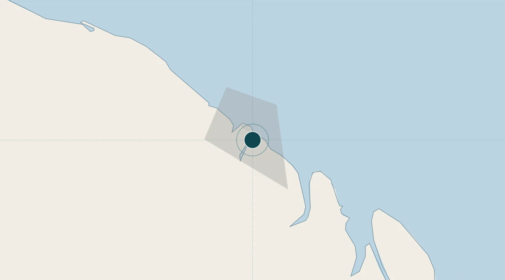
Location
Container Terminals · 1
DEGRAD DES CANNES TERMINAL
GPMG GRAND PORT MARITIME DE LA GUYANE (GPMG)
Nearby Logistics Neighbours
Ports
- 1Moengo254 km
- 2Paranam325 km
- 3Paramaribo339 km
- 4Nieuw Nickerie538 km
- 5Porto Santana558 km
Cities
- 1Cayenne1 km
- 2Dégrad des Cannes-Pariacabo Pt/Remire4 km
- 3Kourou53 km
- 4Ouanary97 km
- 5Saint-Georges118 km
Airports
- 1Cayenne – Félix Eboué Airport11 km
- 2Saint-Georges-de-l'Oyapock Airport118 km
- 3Oiapoque Airport122 km
- 4Saint-Laurent-du-Maroni Airport208 km
- 5Maripasoula Airport237 km
Trade Zones
- 1Coldingen Industrial Estate671 km
- 2Eccles Industrial Estate687 km
- 3Ruimveldt Industrial Estate688 km
- 4ZPE de Barcarena (PA)816 km
- 5Lethem Industrial Estate851 km