Medium airport · Brazil
Oiapoque AirportSBOI
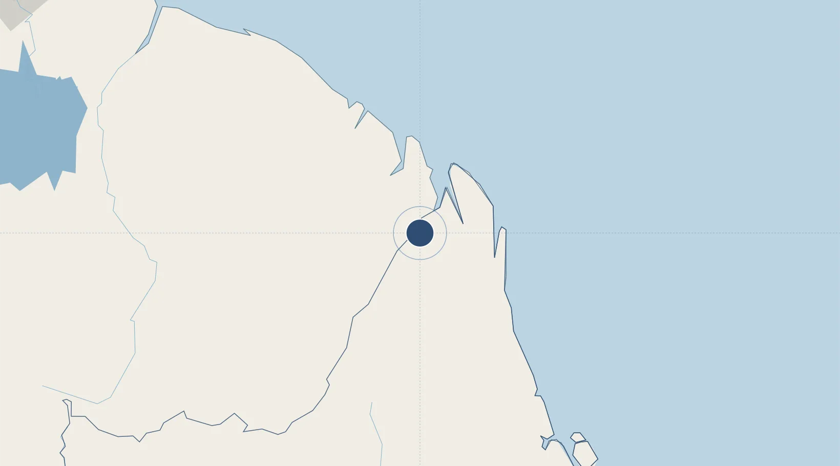
3.8541°, -51.7971°
3,937 ft
Longest runway
1
Runways
53 ft
Elevation
Runway & Layout

Radio Frequencies
AFIS
125.9 MHz
RDO
Navaids
OIA NDB Oiapoque 340 kHz
Runways · 1
| Runway | Dimensions | Surface | True heading | Lit |
|---|---|---|---|---|
| 3/21 | 3,937 × 98ft | Asphalt | — | — |
Airport Specifications
IATA code
OYK
ICAO code
SBOI
Airport class
Medium airport
Scheduled service
No
Runway surface
Asphalt
Served city
Oiapoque
Location
Nearby Logistics Neighbours
Airports
- 1Saint-Georges-de-l'Oyapock Airport5 km
- 2Cayenne – Félix Eboué Airport124 km
- 3Maripasoula Airport250 km
- 4Tabiki Airstrip255 km
- 5Cottica Airstrip270 km
Cities
- 1Oiapoque2 km
- 2Saint-Georges5 km
- 3Ouanary43 km
- 4Cayenne123 km
- 5Dégrad des Cannes124 km
Ports
- 1Degrad Des Cannes122 km
- 2Moengo351 km
- 3Paranam415 km
- 4Paramaribo433 km
- 5Porto Santana439 km
Trade Zones
- 1ZPE de Barcarena (PA)694 km
- 2Coldingen Industrial Estate761 km
- 3Eccles Industrial Estate776 km
- 4Ruimveldt Industrial Estate777 km
- 5Lethem Industrial Estate890 km
DatabookThe Record of Consolidated Knowledge
Brazil beyond logistics?