Medium airport · French Guiana
Maripasoula AirportSOOA
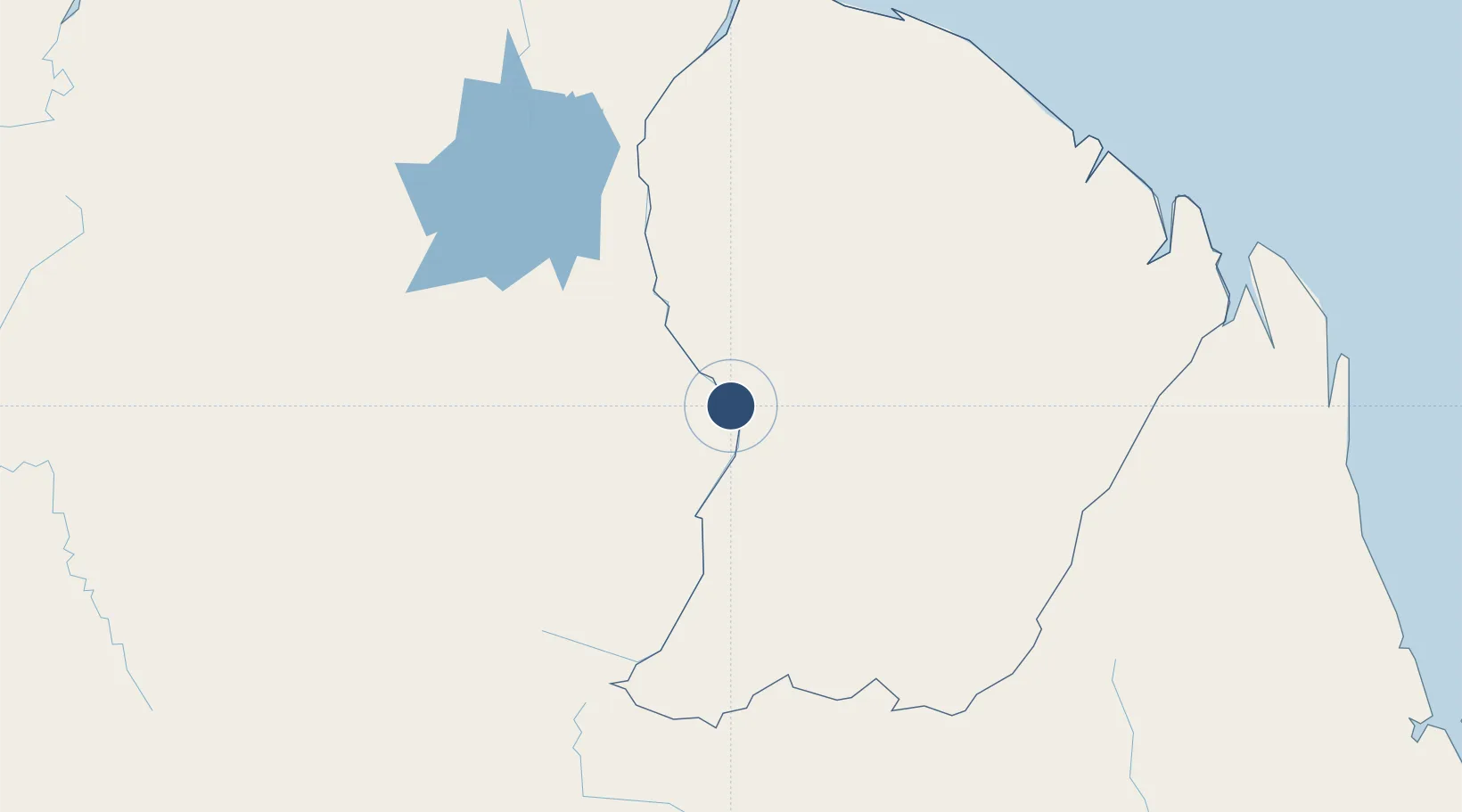
3.6559°, -54.0394°
3,938 ft
Longest runway
1
Runways
406 ft
Elevation
Runway & Layout

Runways · 1
| Runway | Dimensions | Surface | True heading | Lit |
|---|---|---|---|---|
| 07/25 | 3,938 × 49ft | Asphalt | 055° | — |
Airport Specifications
IATA code
MPY
ICAO code
SOOA
Airport class
Medium airport
Scheduled service
Yes
Runway surface
Asphalt
Served city
Maripasoula
Location
Nearby Logistics Neighbours
Airports
- 1Tabiki Airstrip6 km
- 2Cottica Airstrip30 km
- 3Drietabbetje Airport87 km
- 4Godo Holo Airstrip94 km
- 5Afobakka Airstrip183 km
Cities
- 1Saint-Laurent-du-Maroni205 km
- 2Awala-Yalimapo226 km
- 3Kourou228 km
- 4Dégrad des Cannes236 km
- 5Cayenne237 km
Ports
- 1Moengo224 km
- 2Degrad Des Cannes237 km
- 3Paranam248 km
- 4Paramaribo272 km
- 5Nieuw Nickerie416 km
Trade Zones
- 1Coldingen Industrial Estate561 km
- 2Eccles Industrial Estate573 km
- 3Ruimveldt Industrial Estate575 km
- 4Lethem Industrial Estate640 km
- 5ZPE de Boa Vista (RR)746 km