Transport Functions
Port
Airport
Postal
Hub Profile
Place type
National capital
Region
Guyane
Population
61,550
Time zone
America/Cayenne
Elevation
7 m
Logistics facilities
4
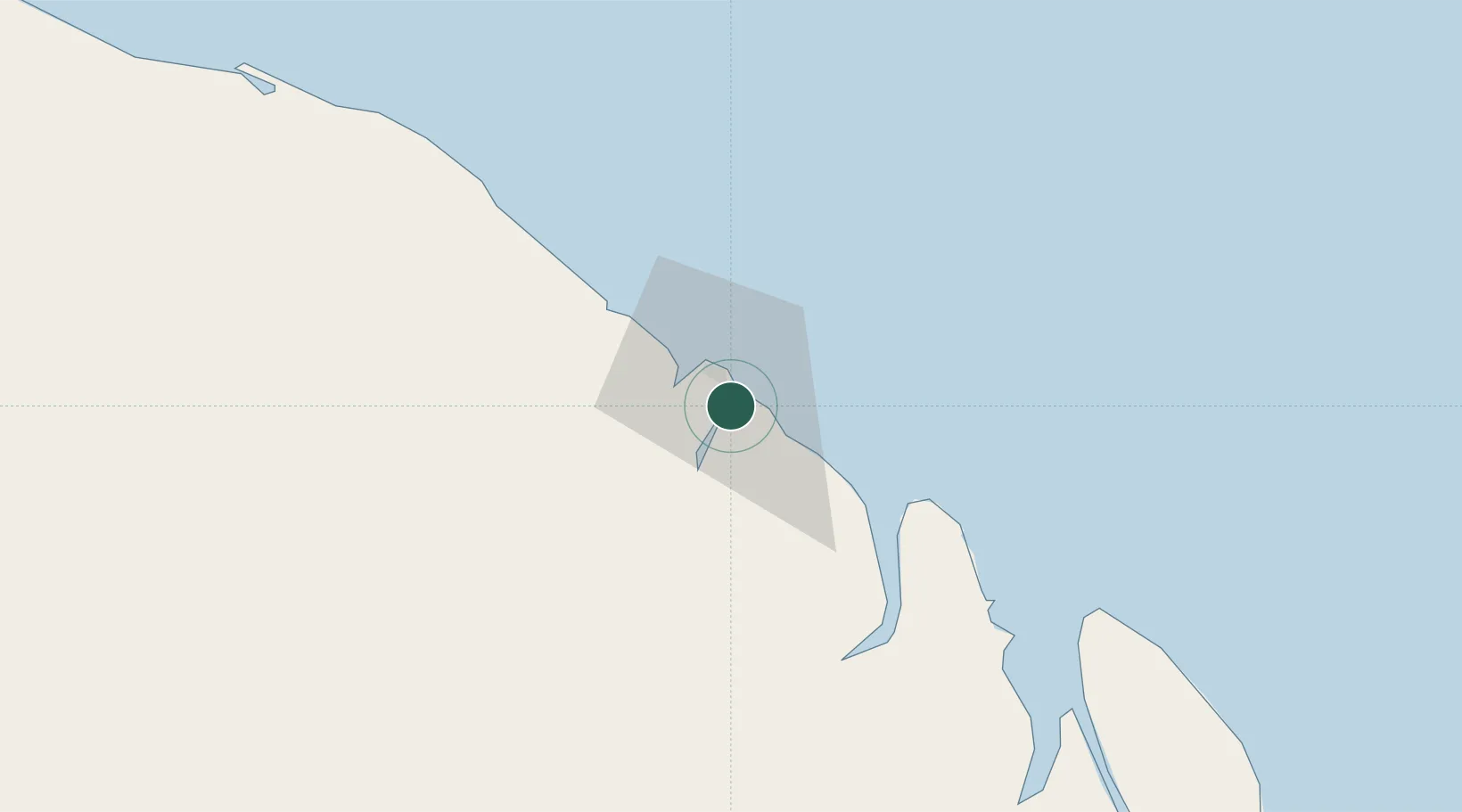
Location
Nearby Logistics Neighbours
Cities
- 1Dégrad des Cannes1 km
- 2Dégrad des Cannes-Pariacabo Pt/Remire3 km
- 3Kourou52 km
- 4Ouanary98 km
- 5Saint-Georges119 km
Ports
- 1Degrad Des Cannes1 km
- 2Moengo253 km
- 3Paranam324 km
- 4Paramaribo338 km
- 5Nieuw Nickerie537 km
Airports
- 1Cayenne – Félix Eboué Airport11 km
- 2Saint-Georges-de-l'Oyapock Airport119 km
- 3Oiapoque Airport123 km
- 4Saint-Laurent-du-Maroni Airport207 km
- 5Maripasoula Airport237 km
Trade Zones
- 1Coldingen Industrial Estate670 km
- 2Eccles Industrial Estate686 km
- 3Ruimveldt Industrial Estate687 km
- 4ZPE de Barcarena (PA)816 km
- 5Lethem Industrial Estate851 km