Channel & Berth Profile
Pilotage, Tugs & Services
Pilotage compulsoryYES
Tug assistanceYES
Potable waterYES
MedicalYES
Garbage disposalNO
Facilities & Capabilities
Container—
Ro-Ro—
Liquid bulk—
Dry bulk—
Oil terminal—
Break bulk—
Dry dock—
Repairs—
BunkeringYES
Rail link—
Dangerous cargo—
ISPS security—
Harbour Specifications
Harbour size
Very Small
Harbour type
River (Natural)
Shelter
Excellent
Water body
North Atlantic Ocean
Tidal range
2.6 m
Overhead limit
No
Pilotage
Yes
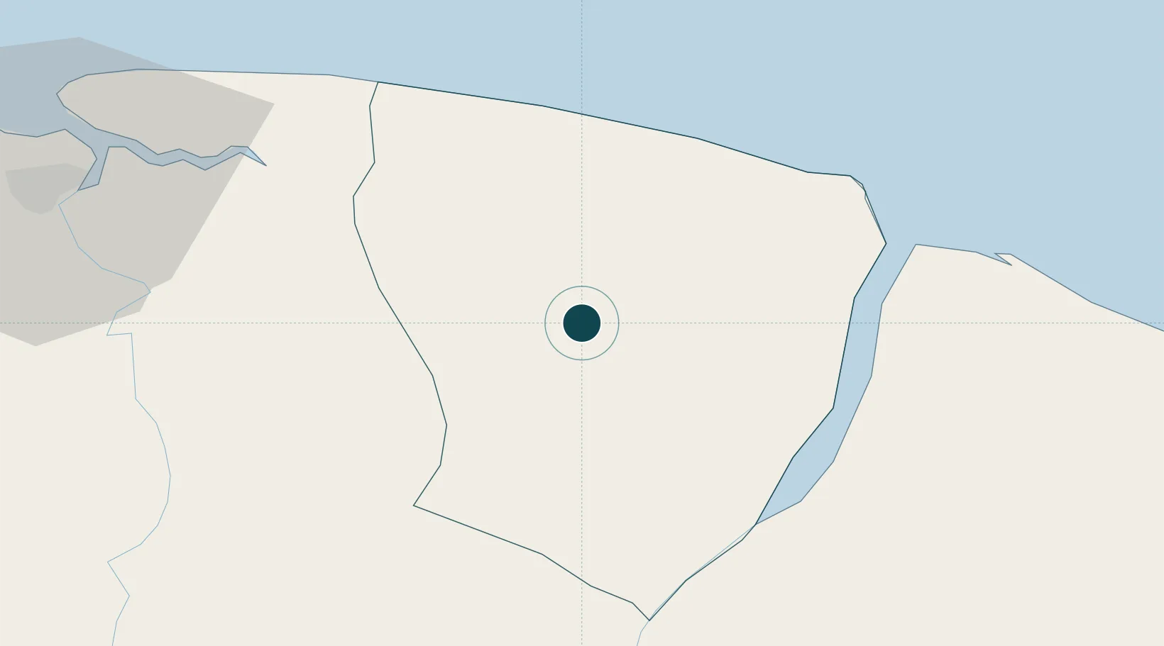
Location
Nearby Logistics Neighbours
Ports
- 1Paranam76 km
- 2Paramaribo86 km
- 3Degrad Des Cannes254 km
- 4Nieuw Nickerie288 km
- 5New Amsterdam350 km
Cities
- 1Saint-Laurent-du-Maroni45 km
- 2Awala-Yalimapo54 km
- 3Paramaribo85 km
- 4Lelydorp91 km
- 5Kwatta94 km
Airports
Trade Zones
- 1Coldingen Industrial Estate418 km
- 2Eccles Industrial Estate433 km
- 3Ruimveldt Industrial Estate434 km
- 4Lethem Industrial Estate647 km
- 5Free Port of Santa Elena de Uairén750 km
DatabookThe Record of Consolidated Knowledge
Suriname beyond logistics?