Channel & Berth Profile
Pilotage, Tugs & Services
Pilotage compulsoryYES
Pilotage availableYES
Tug assistanceNO
Salvage tugsNO
Potable waterYES
MedicalYES
Garbage disposalNO
Facilities & Capabilities
Container—
Ro-Ro—
Liquid bulk—
Dry bulk—
Oil terminal—
Break bulk—
Dry dockNO
RepairsNO
BunkeringYES
Rail linkYES
Dangerous cargo—
ISPS security—
Harbour Specifications
Harbour size
Very Small
Harbour type
River (Natural)
Shelter
Excellent
Water body
North Atlantic Ocean
Tidal range
2 m
Overhead limit
Yes
Pilotage
Yes
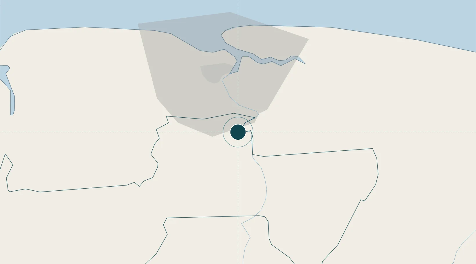
Location
Nearby Logistics Neighbours
Ports
- 1Paramaribo25 km
- 2Moengo76 km
- 3Nieuw Nickerie213 km
- 4New Amsterdam276 km
- 5Degrad Des Cannes325 km
Cities
- 1Lelydorp17 km
- 2Paramaribo23 km
- 3Kwatta28 km
- 4Saint-Laurent-du-Maroni119 km
- 5Awala-Yalimapo129 km
Airports
Trade Zones
- 1Coldingen Industrial Estate347 km
- 2Eccles Industrial Estate362 km
- 3Ruimveldt Industrial Estate363 km
- 4Lethem Industrial Estate577 km
- 5Free Port of Santa Elena de Uairén675 km
DatabookThe Record of Consolidated Knowledge
Suriname beyond logistics?