Transport Functions
Port
Hub Profile
Place type
Populated place
Region
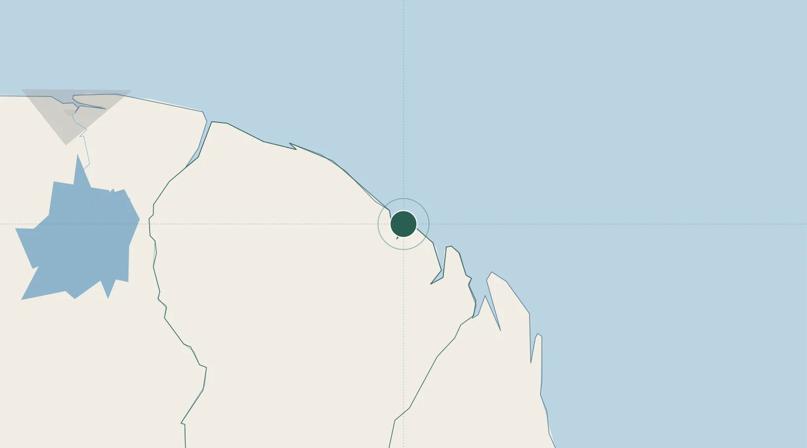
Guyane
Time zone
America/Cayenne
Elevation
7 m
Logistics facilities
1
Location
Nearby Logistics Neighbours
Cities
- 1Cayenne1 km
- 2Dégrad des Cannes-Pariacabo Pt/Remire3 km
- 3Kourou51 km
- 4Ouanary98 km
- 5Saint-Georges119 km
Ports
- 1Moengo252 km
- 2Paranam324 km
- 3Paramaribo338 km
- 4Nieuw Nickerie537 km
- 5Porto Santana559 km
Airports
- 1Cayenne – Félix Eboué Airport10 km
- 2Saint-Georges-de-l'Oyapock Airport119 km
- 3Oiapoque Airport124 km
- 4Saint-Laurent-du-Maroni Airport206 km
- 5Maripasoula Airport236 km
Trade Zones
- 1Coldingen Industrial Estate669 km
- 2Eccles Industrial Estate685 km
- 3Ruimveldt Industrial Estate686 km
- 4ZPE de Barcarena (PA)817 km
- 5Lethem Industrial Estate850 km