Large airport · French Guiana
Cayenne – Félix Eboué AirportSOCA
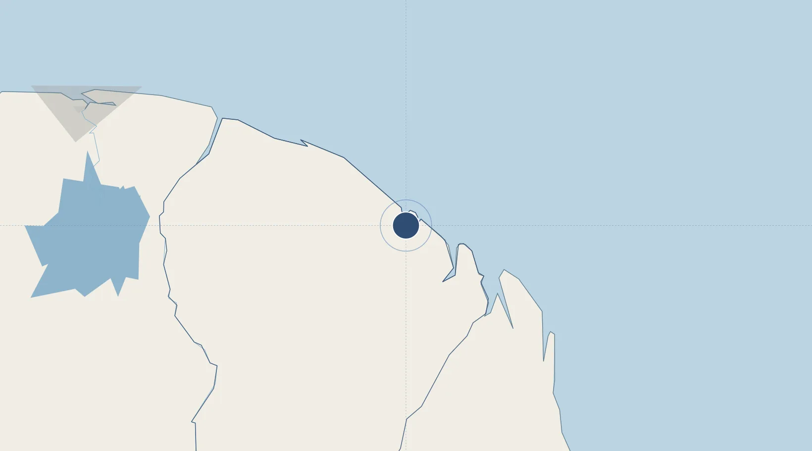
4.8200°, -52.3613°
10,486 ft
Longest runway
1
Runways
26 ft
Elevation
Runway & Layout

Radio Frequencies
ATIS
132.2 MHz
TWR
118.1 MHz
APP
119.9 MHz
Navaids
CYR VOR-DME Cayenne 115.95 MHz
FXC NDB Cayenne 327 kHz
Runways · 1
| Runway | Dimensions | Surface | True heading | Lit |
|---|---|---|---|---|
| 08/26 | 10,486 × 148ft | Asphalt | 065° | ✓ |
Airport Specifications
IATA code
CAY
ICAO code
SOCA
Airport class
Large airport
Scheduled service
Yes
Runway surface
Asphalt
Served city
Matoury
Location
Nearby Logistics Neighbours
Airports
- 1Saint-Georges-de-l'Oyapock Airport120 km
- 2Oiapoque Airport124 km
- 3Saint-Laurent-du-Maroni Airport199 km
- 4Maripasoula Airport227 km
- 5Tabiki Airstrip229 km
Cities
- 1Dégrad des Cannes10 km
- 2Cayenne11 km
- 3Dégrad des Cannes-Pariacabo Pt/Remire11 km
- 4Kourou48 km
- 5Ouanary102 km
Ports
- 1Degrad Des Cannes11 km
- 2Moengo245 km
- 3Paranam316 km
- 4Paramaribo330 km
- 5Nieuw Nickerie529 km
Trade Zones
- 1Coldingen Industrial Estate662 km
- 2Eccles Industrial Estate678 km
- 3Ruimveldt Industrial Estate679 km
- 4ZPE de Barcarena (PA)818 km
- 5Lethem Industrial Estate840 km