Medium airport · French Guiana
Saint-Laurent-du-Maroni AirportSOOM
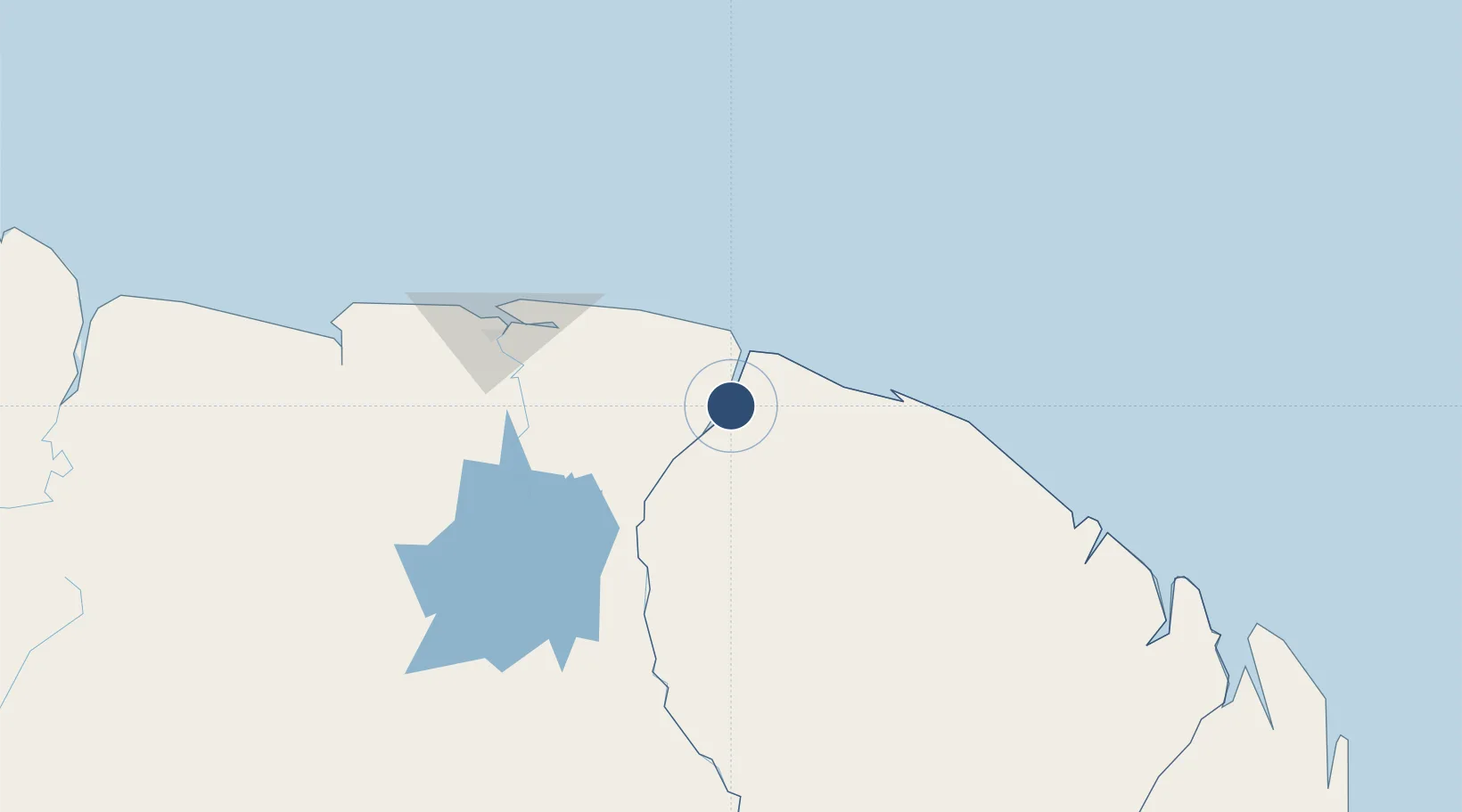
5.4819°, -54.0350°
3,281 ft
Longest runway
1
Runways
16 ft
Elevation
Runway & Layout
Runways · 1
| Runway | Dimensions | Surface | True heading | Lit |
|---|---|---|---|---|
| 04/22 | 3,281 × 75ft | Asphalt | — | — |
Airport Specifications
IATA code
LDX
ICAO code
SOOM
Airport class
Medium airport
Scheduled service
Yes
Runway surface
Asphalt
Served city
Saint-Laurent-du-Maroni
Location
Nearby Logistics Neighbours
Airports
- 1Moengo Airstrip43 km
- 2Afobakka Airstrip119 km
- 3Johan Adolf Pengel International Airport128 km
- 4Zorg en Hoop Airport133 km
- 5Eduard Alexander Gummels Airport135 km
Cities
- 1Saint-Laurent-du-Maroni2 km
- 2Awala-Yalimapo25 km
- 3Paramaribo131 km
- 4Lelydorp135 km
- 5Kwatta140 km
Ports
- 1Moengo46 km
- 2Paranam119 km
- 3Paramaribo131 km
- 4Degrad Des Cannes208 km
- 5Nieuw Nickerie332 km
Trade Zones
- 1Coldingen Industrial Estate463 km
- 2Eccles Industrial Estate479 km
- 3Ruimveldt Industrial Estate480 km
- 4Lethem Industrial Estate680 km
- 5Free Port of Santa Elena de Uairén790 km