Channel & Berth Profile
Pilotage, Tugs & Services
Pilotage compulsoryYES
Pilotage availableYES
Tug assistanceNO
Potable waterYES
Diesel bunkersYES
MedicalYES
Garbage disposalNO
Facilities & Capabilities
Container—
Ro-Ro—
Liquid bulk—
Dry bulk—
Oil terminal—
Break bulk—
Dry dock—
Repairs—
BunkeringYES
Rail link—
Dangerous cargo—
ISPS security—
Harbour Specifications
Harbour size
Very Small
Harbour type
River (Natural)
Shelter
Fair
Water body
North Atlantic Ocean
Tidal range
2 m
Overhead limit
No
Pilotage
Yes
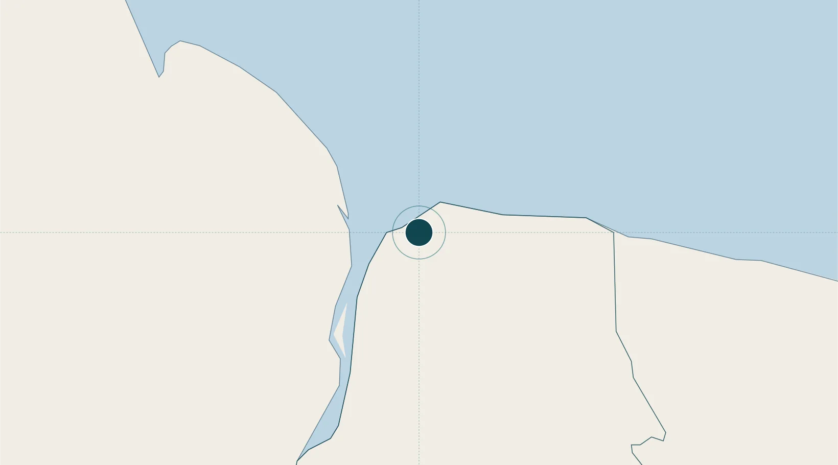
Location
Nearby Logistics Neighbours
Ports
- 1New Amsterdam66 km
- 2Linden144 km
- 3Georgetown162 km
- 4Paramaribo203 km
- 5Paranam213 km
Cities
- 1Rosignol70 km
- 2Bartica73 km
- 3Agricola Village141 km
- 4Linden142 km
- 5Mackenzie142 km
Airports
Trade Zones
- 1Coldingen Industrial Estate145 km
- 2Eccles Industrial Estate158 km
- 3Ruimveldt Industrial Estate159 km
- 4Lethem Industrial Estate421 km
- 5Free Port of Santa Elena de Uairén479 km
DatabookThe Record of Consolidated Knowledge
Suriname beyond logistics?