Transport Functions
Port
Road
Airport
Postal
Hub Profile
Place type
District seat
Region
Guyane
Population
24,029
Time zone
America/Cayenne
Elevation
7 m
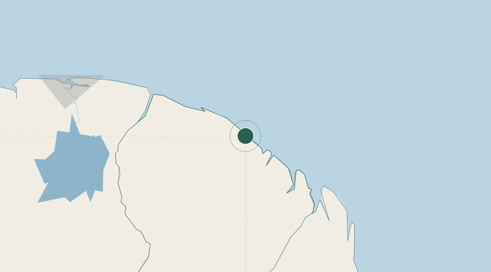
Location
Nearby Logistics Neighbours
Cities
- 1Dégrad des Cannes-Pariacabo Pt/Remire49 km
- 2Dégrad des Cannes51 km
- 3Cayenne52 km
- 4Ouanary149 km
- 5Awala-Yalimapo156 km
Ports
- 1Degrad Des Cannes53 km
- 2Moengo205 km
- 3Paranam278 km
- 4Paramaribo291 km
- 5Nieuw Nickerie491 km
Airports
- 1Cayenne – Félix Eboué Airport48 km
- 2Saint-Laurent-du-Maroni Airport160 km
- 3Saint-Georges-de-l'Oyapock Airport167 km
- 4Oiapoque Airport171 km
- 5Moengo Airstrip202 km
Trade Zones
- 1Coldingen Industrial Estate622 km
- 2Eccles Industrial Estate638 km
- 3Ruimveldt Industrial Estate639 km
- 4Lethem Industrial Estate819 km
- 5ZPE de Barcarena (PA)865 km