Medium airport · French Guiana
Saint-Georges-de-l'Oyapock AirportSOOG
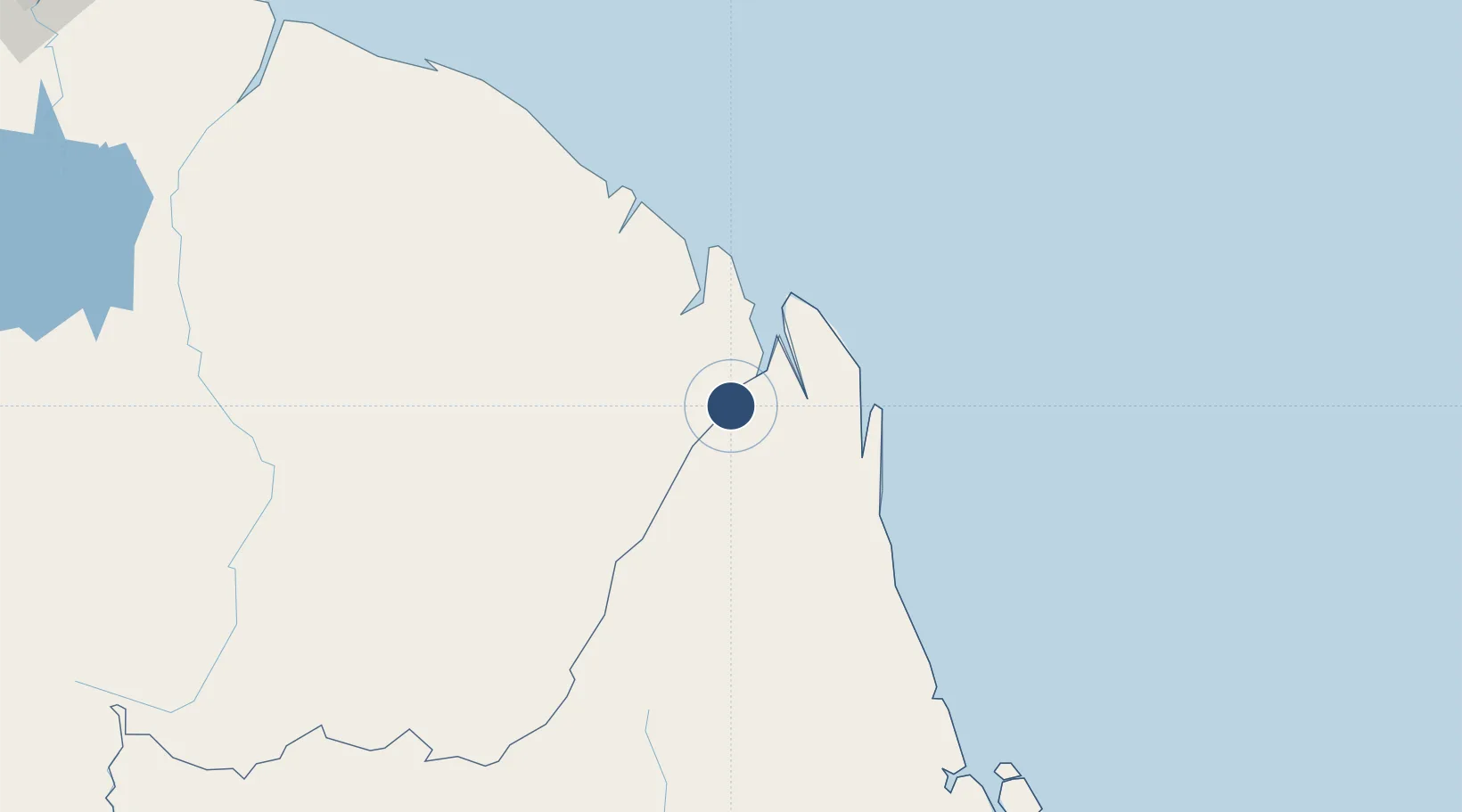
3.8976°, -51.8041°
3,937 ft
Longest runway
1
Runways
46 ft
Elevation
Runway & Layout

Radio Frequencies
AFIS
125.9 MHz
OIAPOQUE AFIS
Runways · 1
| Runway | Dimensions | Surface | True heading | Lit |
|---|---|---|---|---|
| 04/22 | 3,937 × 49ft | Concrete | 018° | — |
Airport Specifications
IATA code
OYP
ICAO code
SOOG
Airport class
Medium airport
Scheduled service
No
Runway surface
Concrete
Served city
Saint-Georges-de-l'Oyapock
Location
Nearby Logistics Neighbours
Airports
- 1Oiapoque Airport5 km
- 2Cayenne – Félix Eboué Airport120 km
- 3Maripasoula Airport250 km
- 4Tabiki Airstrip254 km
- 5Cottica Airstrip269 km
Cities
- 1Saint-Georges1 km
- 2Oiapoque6 km
- 3Ouanary39 km
- 4Cayenne119 km
- 5Dégrad des Cannes119 km
Ports
- 1Degrad Des Cannes118 km
- 2Moengo348 km
- 3Paranam412 km
- 4Paramaribo430 km
- 5Porto Santana444 km
Trade Zones
- 1ZPE de Barcarena (PA)698 km
- 2Coldingen Industrial Estate759 km
- 3Eccles Industrial Estate773 km
- 4Ruimveldt Industrial Estate774 km
- 5Lethem Industrial Estate889 km