UN/LOCODE hub · French Guiana
GFREM
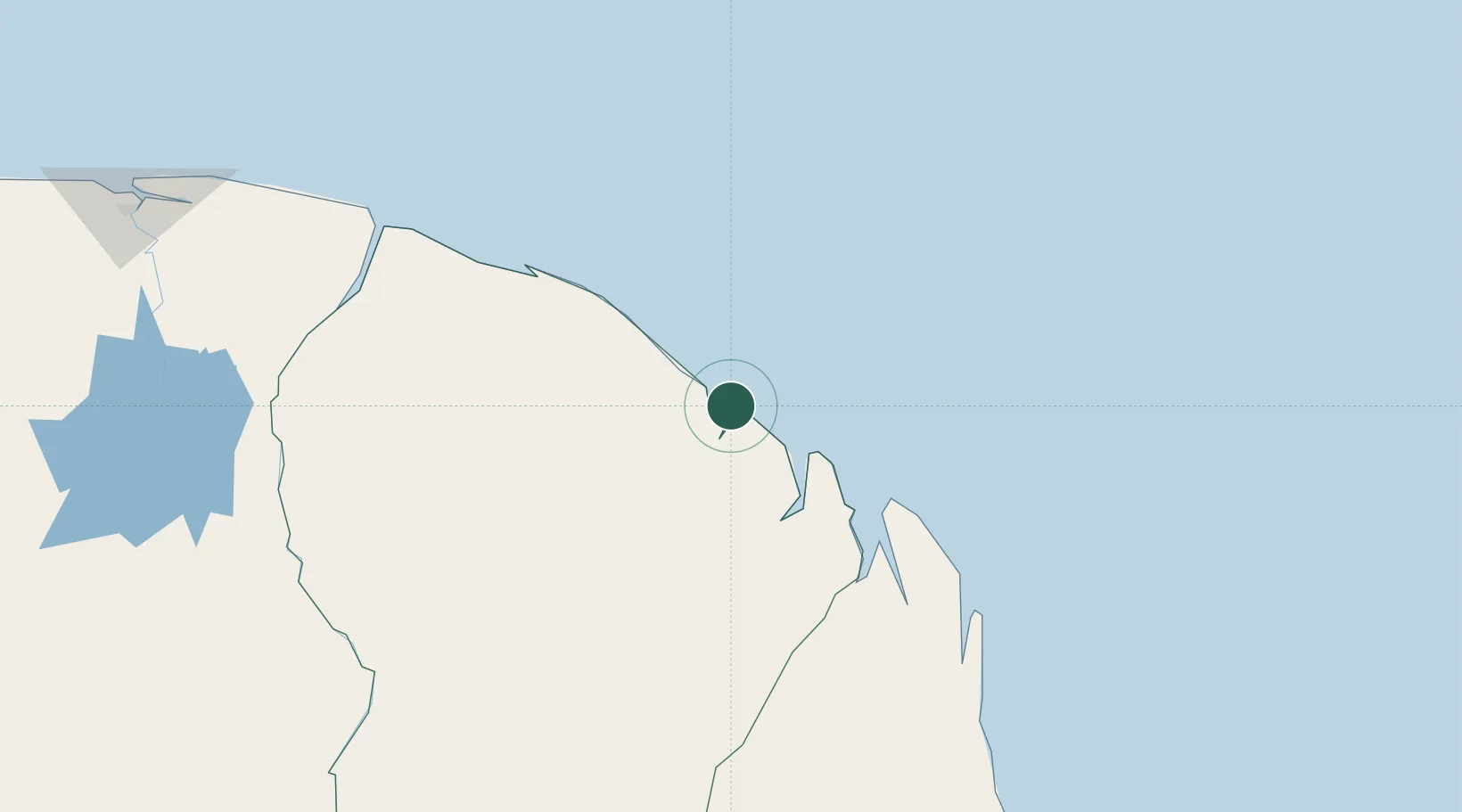
Dégrad des Cannes-Pariacabo Pt/Remire
4.8833°, -52.2833°
4
Transport functions
Transport Functions
Port
Road
Multimodal
Fixed Transport
Location
Nearby Logistics Neighbours
Cities
- 1Dégrad des Cannes3 km
- 2Cayenne3 km
- 3Kourou49 km
- 4Ouanary101 km
- 5Saint-Georges122 km
Ports
- 1Degrad Des Cannes4 km
- 2Moengo251 km
- 3Paranam322 km
- 4Paramaribo336 km
- 5Nieuw Nickerie535 km
Airports
- 1Cayenne – Félix Eboué Airport11 km
- 2Saint-Georges-de-l'Oyapock Airport122 km
- 3Oiapoque Airport127 km
- 4Saint-Laurent-du-Maroni Airport205 km
- 5Maripasoula Airport238 km
Trade Zones
- 1Coldingen Industrial Estate668 km
- 2Eccles Industrial Estate684 km
- 3Ruimveldt Industrial Estate685 km
- 4ZPE de Barcarena (PA)820 km
- 5Lethem Industrial Estate850 km