Free Trade Zone · Guyana

Lethem Industrial Estate Inactive
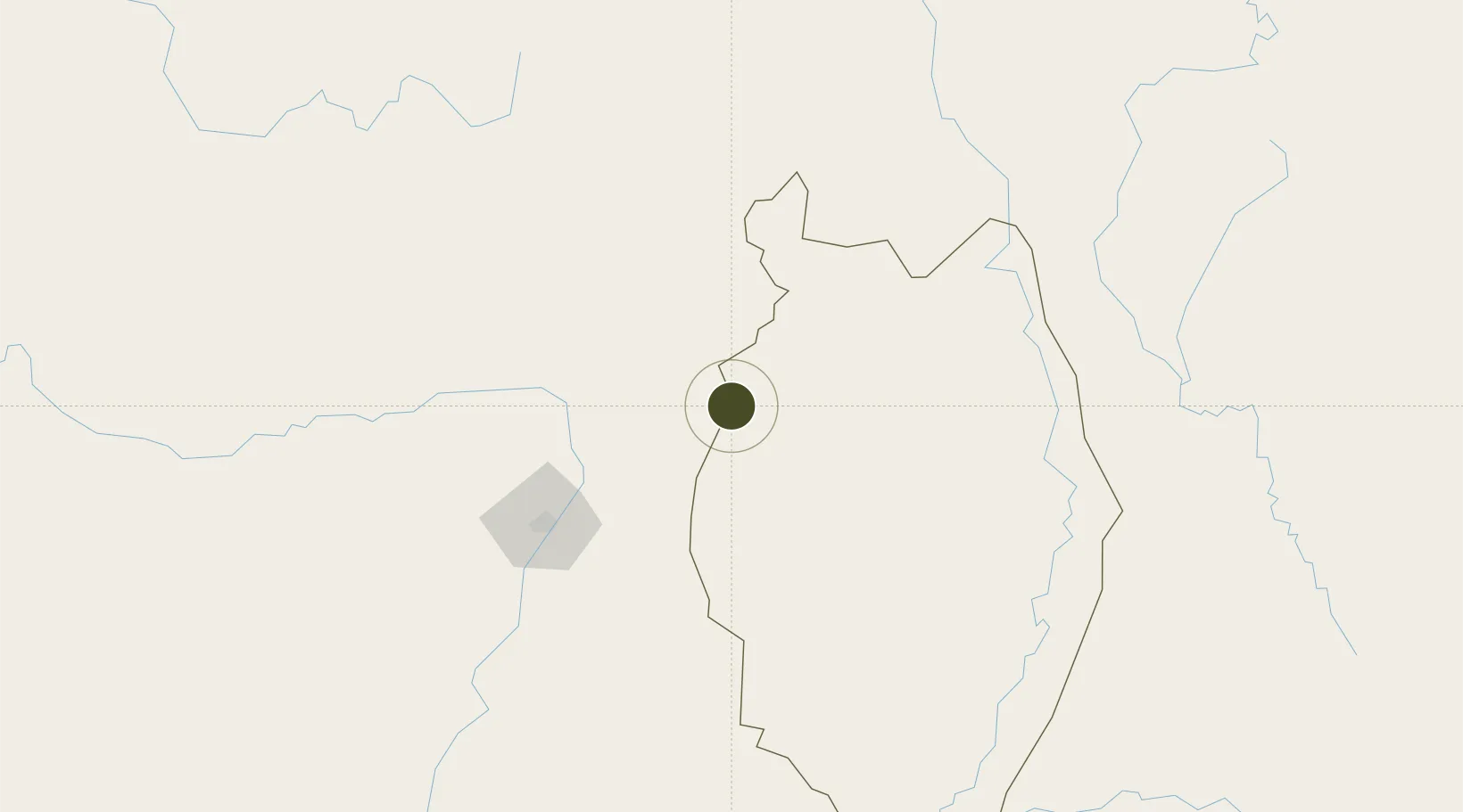
3.3881°, -59.8009°
70 ha
Zone area
334.7 km
Nearest port
2.1 km
Nearest airport

Gateway access

Nearest neighbours — logibook spatial index (haversine) over the source coordinates

Zone profile

Zone type
Free Trade Zone
Open Zone Map
Region
Upper Demerara-Berbice
Open Zone Map
Status
Inactive
Open Zone Map
Management
Public
Open Zone Map
Operator
National Industrial and Commercial Investment, LTD.
Open Zone Map
Legal framework
Investment Act of 2007
Open Zone Map

Location

Location of ozm-2065
Natural Earth 10m (public domain) · Upper Demerara-Berbice · ozm-2065 · 3.39, -59.80GoogleOSMYandex

Nearby Logistics Neighbours

Ports
  1. 1Linden335 km
  2. 2New Amsterdam407 km
  3. 3Nieuw Nickerie421 km
  4. 4Georgetown424 km
  5. 5Paranam577 km
Nearest neighbours — logibook spatial index (haversine) over the source coordinates
Airports
  1. 1Lethem Airport2 km
  2. 2Atlas Brasil Cantanhede International Airport116 km
  3. 3Santa Elena de Uairén Airport198 km
  4. 4Kaieteur Airport202 km
  5. 5Cheddi Jagan International Airport386 km
Nearest neighbours — logibook spatial index (haversine) over the source coordinates
Cities
  1. 1Bonfim8 km
  2. 2Pacaraima190 km
  3. 3Santa Elena de Uairén201 km
  4. 4Caracaraí230 km
  5. 5Linden336 km
Nearest neighbours — logibook spatial index (haversine) over the source coordinates
Trade Zones
  1. 1ZPE de Boa Vista (RR)119 km
  2. 2Free Port of Santa Elena de Uairén198 km
  3. 3Eccles Industrial Estate418 km
  4. 4Ruimveldt Industrial Estate420 km
  5. 5Coldingen Industrial Estate426 km
Nearest neighbours — logibook spatial index (haversine) over the source coordinates
DatabookThe Record of Consolidated Knowledge
Guyana beyond logistics?
Browse databook

All Sources

Trade ZonesOpen Zone Map
CC BY
Portsthe NGA World Port Index
Public domain (US gov)
AirportsOurAirports
Public domain
LocationsUN/LOCODE
UN/LOCODE — free
← Guyana trade zones