UN/LOCODE hub · French Guiana
GFOYP
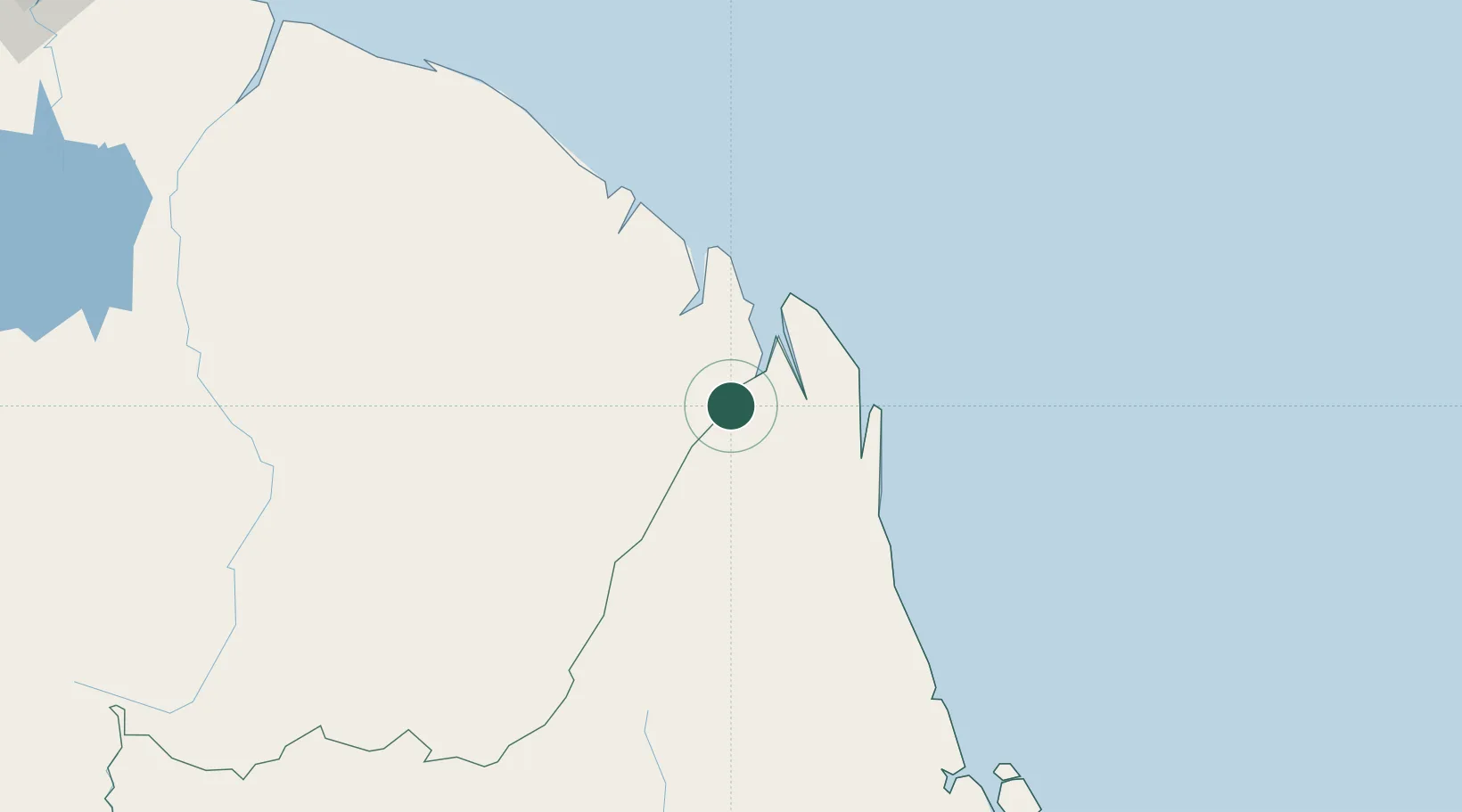
Saint-Georges
3.9000°, -51.8000°
2,742
Population
3
Transport functions
Transport Functions
Port
Road
Airport
Hub Profile
Place type
District seat
Region
Guyane
Population
2,742
Time zone
America/Cayenne
Elevation
8 m
Location
Nearby Logistics Neighbours
Cities
- 1Oiapoque6 km
- 2Ouanary38 km
- 3Cayenne119 km
- 4Dégrad des Cannes119 km
- 5Dégrad des Cannes-Pariacabo Pt/Remire122 km
Ports
- 1Degrad Des Cannes118 km
- 2Moengo348 km
- 3Paranam413 km
- 4Paramaribo431 km
- 5Porto Santana445 km
Airports
- 1Saint-Georges-de-l'Oyapock Airport1 km
- 2Oiapoque Airport5 km
- 3Cayenne – Félix Eboué Airport120 km
- 4Maripasoula Airport250 km
- 5Tabiki Airstrip255 km
Trade Zones
- 1ZPE de Barcarena (PA)698 km
- 2Coldingen Industrial Estate759 km
- 3Eccles Industrial Estate774 km
- 4Ruimveldt Industrial Estate775 km
- 5Lethem Industrial Estate890 km