Seaport · Suriname
ParamariboSRPBM
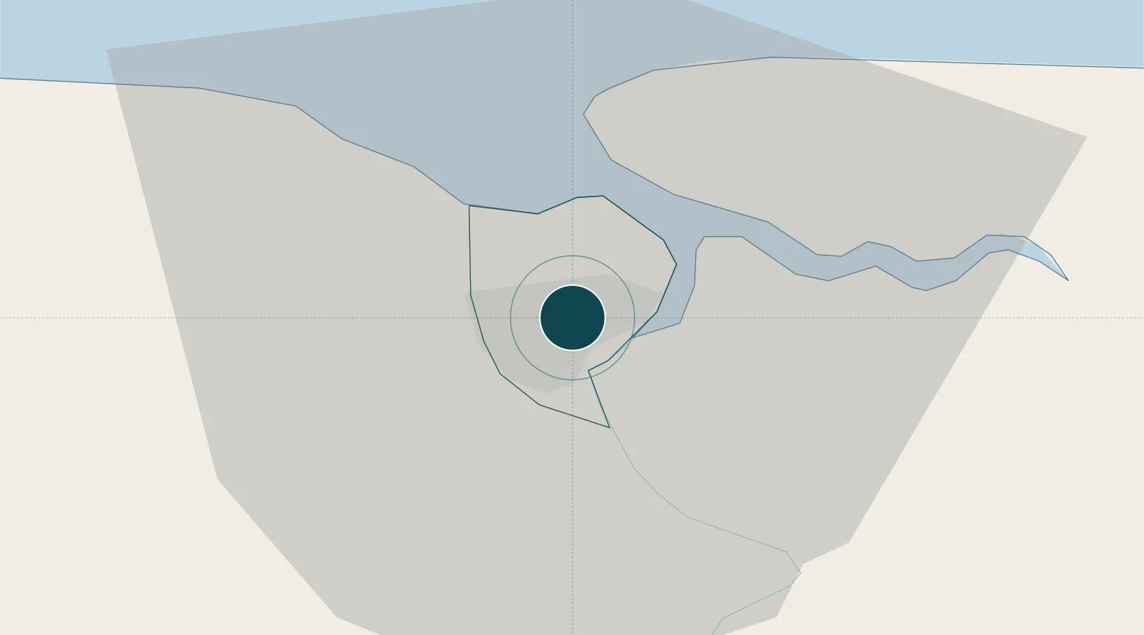
5.8333°, -55.1667°
4.6 m
Channel depth
1
Container terminals
99.0
Port liner connectivity
Channel & Berth Profile
Pilotage, Tugs & Services
Pilotage compulsoryYES
Pilotage availableYES
Pilotage advisableYES
Tug assistanceYES
Salvage tugsNO
Potable waterYES
Diesel bunkersNO
MedicalYES
Garbage disposalNO
Facilities & Capabilities
Container—
Ro-Ro—
Liquid bulk—
Dry bulk—
Oil terminal—
Break bulk—
Dry dock—
RepairsNO
BunkeringYES
Rail linkYES
Dangerous cargo—
ISPS security—
Harbour Specifications
Harbour size
Small
Harbour type
River (Natural)
Shelter
Excellent
Water body
North Atlantic Ocean
Tidal range
2 m
Overhead limit
Yes
Pilotage
Yes
Liner Connectivity
99
PLSCI
Port Liner Shipping Connectivity Index for Paramaribo, as published by UNCTAD for the latest available quarter. Higher values indicate stronger scheduled liner-shipping integration.
Shown relative to the highest per-port PLSCI in the dataset (1,657.9).
Location
Container Terminals · 1
PARAMARIBO NIEUWE HAVEN
PBM01 DP WORLD PARAMARIBO
Nearby Logistics Neighbours
Ports
- 1Paranam25 km
- 2Moengo86 km
- 3Nieuw Nickerie203 km
- 4New Amsterdam264 km
- 5Degrad Des Cannes339 km
Cities
- 1Kwatta9 km
- 2Lelydorp17 km
- 3Saint-Laurent-du-Maroni131 km
- 4Awala-Yalimapo138 km
- 5Rosignol266 km
Airports
Trade Zones
- 1Coldingen Industrial Estate332 km
- 2Eccles Industrial Estate347 km
- 3Ruimveldt Industrial Estate348 km
- 4Lethem Industrial Estate581 km
- 5Free Port of Santa Elena de Uairén672 km
DatabookThe Record of Consolidated Knowledge
Suriname beyond logistics?