Transport Functions
Port
Airport
Hub Profile
Place type
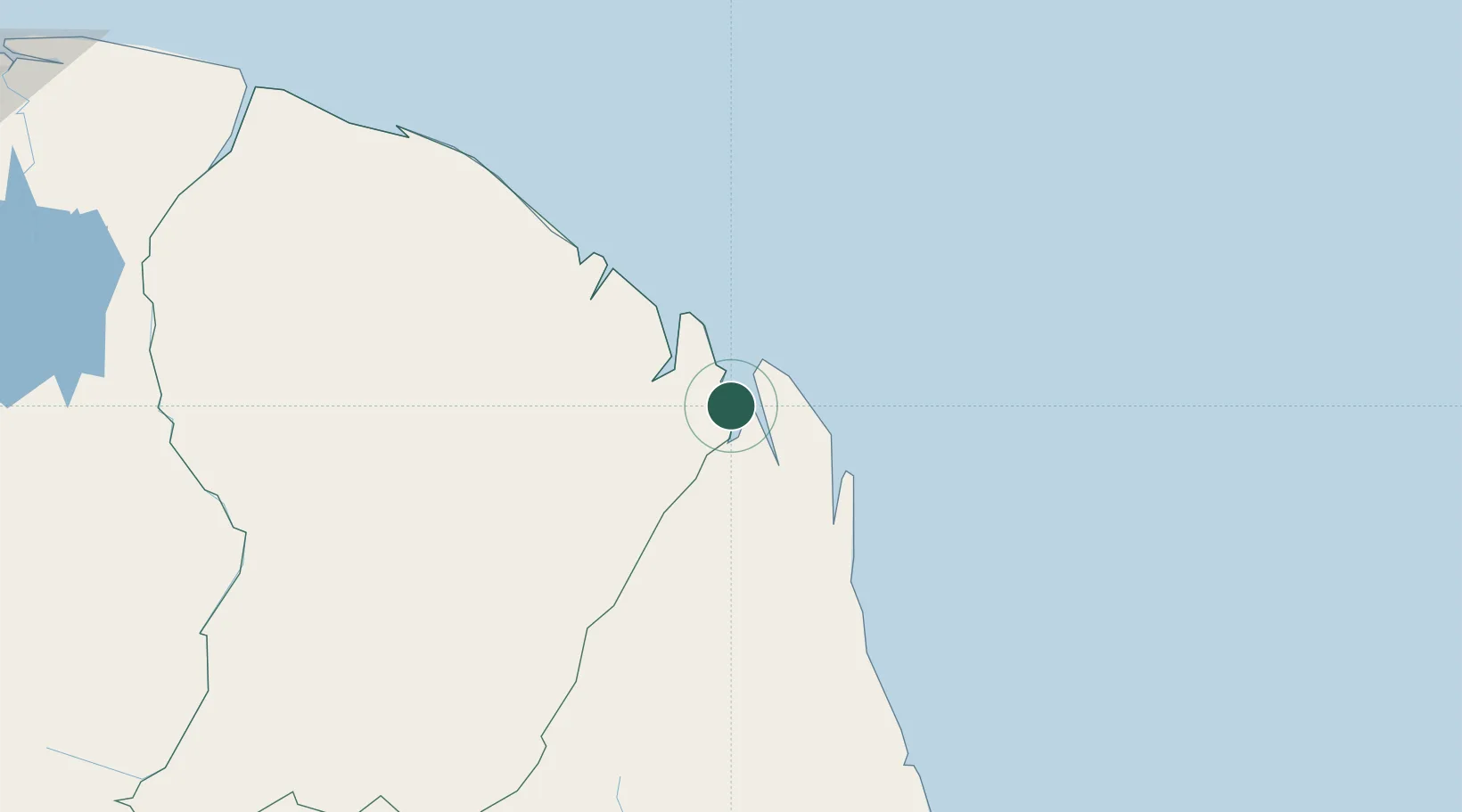
Populated place
Region
Guyane
Time zone
America/Cayenne
Elevation
20 m
Location
Nearby Logistics Neighbours
Cities
- 1Saint-Georges38 km
- 2Oiapoque44 km
- 3Cayenne98 km
- 4Dégrad des Cannes98 km
- 5Dégrad des Cannes-Pariacabo Pt/Remire101 km
Ports
- 1Degrad Des Cannes97 km
- 2Moengo343 km
- 3Paranam411 km
- 4Paramaribo427 km
- 5Porto Santana478 km
Airports
- 1Saint-Georges-de-l'Oyapock Airport39 km
- 2Oiapoque Airport43 km
- 3Cayenne – Félix Eboué Airport102 km
- 4Maripasoula Airport271 km
- 5Tabiki Airstrip275 km
Trade Zones
- 1ZPE de Barcarena (PA)722 km
- 2Coldingen Industrial Estate758 km
- 3Eccles Industrial Estate773 km
- 4Ruimveldt Industrial Estate774 km
- 5Lethem Industrial Estate907 km