Transport Functions
Rail
Road
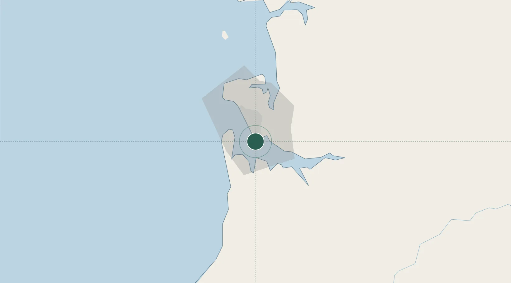
Hub Profile
Place type
Populated place
Region
Estuaire
Population
95,313
Time zone
Africa/Libreville
Elevation
6 m
Location
Nearby Logistics Neighbours
Cities
- 1Libreville4 km
- 2Equata60 km
- 3Port Gentil136 km
- 4Bata173 km
- 5Oguandjo Terminal209 km
Ports
- 1Port Owendo0 km
- 2Libreville12 km
- 3Cogo92 km
- 4Cap Lopez134 km
- 5Port Gentil134 km
Airports
Trade Zones
DatabookThe Record of Consolidated Knowledge
Gabon beyond logistics?