Medium airport · Gabon

Lambarene AirportFOGR
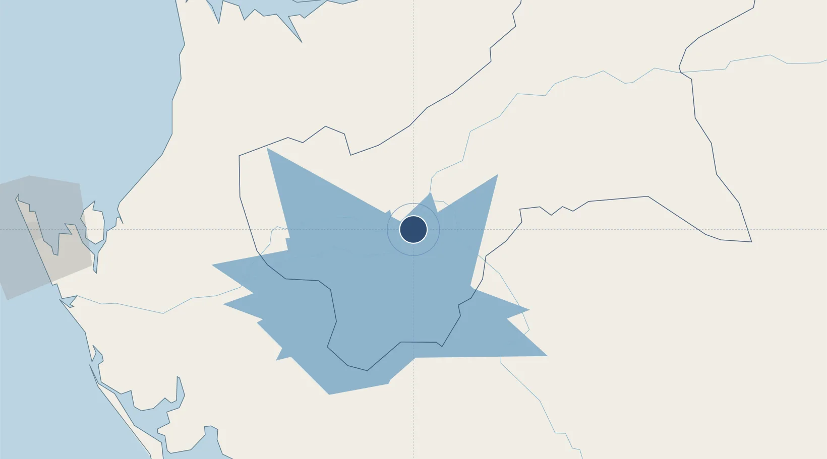
-0.7044°, 10.2457°
7,555 ft
Longest runway
2
Runways
82 ft
Elevation

Runway & Layout

Lambarene Airport runway & taxiway layout
Runway & taxiway layout — OpenStreetMap (ODbL) / OurAirports

Radio Frequencies

AFIS
118.6 MHz
OurAirports

Navaids

LB NDB Lambarene 310 kHz
LR VOR Lambarene 112.70 MHz
OurAirports

Runways · 2

RunwayDimensions SurfaceTrue headingLit
04/22 7,555 × 148ft LAT 042°
05/23 Unknown
OurAirports

Airport Specifications

IATA code
LBQ
OurAirports
ICAO code
FOGR
OurAirports
Airport class
Medium airport
OurAirports
Scheduled service
No
OurAirports
Runway surface
LAT
OurAirports
Served city
Lambarene
OurAirports

Location

Location of FOGR
Natural Earth 10m (public domain) · Moyen-Ogooué · FOGR · -0.70, 10.25GoogleOSMYandex

Nearby Logistics Neighbours

Airports
  1. 1Omboue Hospital Airport146 km
  2. 2Mouilla Ville Airport156 km
  3. 3Libreville Leon M'ba International Airport159 km
  4. 4Port Gentil International Airport166 km
  5. 5Corisco International Airport207 km
Nearest neighbours — logibook spatial index (haversine) over the source coordinates
Cities
  1. 1Equata118 km
  2. 2Owendo138 km
  3. 3Libreville142 km
  4. 4Port Gentil163 km
  5. 5Oguandjo Terminal174 km
Nearest neighbours — logibook spatial index (haversine) over the source coordinates
Ports
  1. 1Port Owendo138 km
  2. 2Libreville150 km
  3. 3Port Gentil161 km
  4. 4Cap Lopez170 km
  5. 5Oguendjo Terminal170 km
Nearest neighbours — logibook spatial index (haversine) over the source coordinates
Trade Zones
  1. 1Owendo Mineral Port137 km
  2. 2Nkok Special Economic Zone140 km
  3. 3Gabon New International Airport Free Zone160 km
  4. 4Port-Gentil (Mandji) Special Economic Zone164 km
  5. 5Puerto de Bata Free Port287 km
Nearest neighbours — logibook spatial index (haversine) over the source coordinates
DatabookThe Record of Consolidated Knowledge
Gabon beyond logistics?
Browse databook

All Sources

AirportsOurAirports
Public domain
Portsthe NGA World Port Index
Public domain (US gov)
LocationsUN/LOCODE
UN/LOCODE — free
Trade Zonesthe World Bank SEZ database
CC BY 4.0
Trade ZonesOpen Zone Map
CC BY
InfrastructureOpenStreetMap
ODbL 1.0
← Gabon airports