Transport Functions
Port
Hub Profile
Region
1
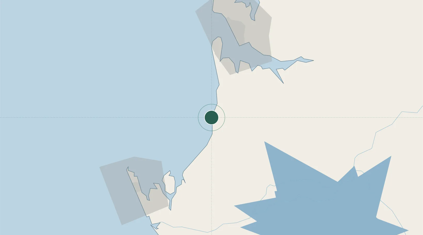
Location
Nearby Logistics Neighbours
Cities
- 1Owendo60 km
- 2Libreville63 km
- 3Port Gentil79 km
- 4Oguandjo Terminal150 km
- 5Bata232 km
Ports
- 1Port Owendo60 km
- 2Libreville69 km
- 3Port Gentil77 km
- 4Cap Lopez80 km
- 5Oguendjo Terminal145 km
Airports
Trade Zones
DatabookThe Record of Consolidated Knowledge
Gabon beyond logistics?