UN/LOCODE hub · United Kingdom
GBAKL

Auckengill

58.5667°, -3.0667°
1
Transport functions

Transport Functions

Port
UN/LOCODE

Hub Profile

Region
HLD
GeoNames

Location

Location of GBAKL
Natural Earth 10m (public domain) · HLD · GBAKL · 58.57, -3.07GoogleOSMYandex

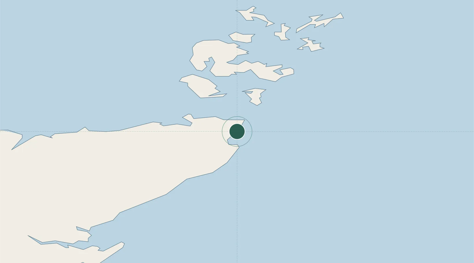
Nearby Logistics Neighbours

Cities
  1. 1Keiss5 km
  2. 2John O'Groats7 km
  3. 3Gills10 km
  4. 4Stroma13 km
  5. 5Scarfskerry15 km
Nearest neighbours — logibook spatial index (haversine) over the source coordinates
Ports
  1. 1Wick15 km
  2. 2Scrabster Harbor29 km
  3. 3St Margarets Hope30 km
  4. 4Lyness31 km
  5. 5Scapa Bay43 km
Nearest neighbours — logibook spatial index (haversine) over the source coordinates
Airports
  1. 1Wick John O'Groats Airport12 km
  2. 2Kirkwall Airport45 km
  3. 3Stronsay Airport70 km
  4. 4Eday Airport71 km
  5. 5Sanday Airport81 km
Nearest neighbours — logibook spatial index (haversine) over the source coordinates
Trade Zones
  1. 1Prestwick Airport Free Zone353 km
  2. 2Carlisle Kingmoor Park Enterprise Zone404 km
  3. 3North Eastern Enterprise Zone410 km
  4. 4Tees Valley Enterprise Zone456 km
  5. 5Isle of Man Free Zone and Business Park507 km
Nearest neighbours — logibook spatial index (haversine) over the source coordinates
DatabookThe Record of Consolidated Knowledge
United Kingdom beyond logistics?
Browse databook

All Sources

LocationsUN/LOCODE
UN/LOCODE — free
Portsthe NGA World Port Index
Public domain (US gov)
AirportsOurAirports
Public domain
Trade Zonesthe World Bank SEZ database
CC BY 4.0
Trade ZonesOpen Zone Map
CC BY
← United Kingdom locations