UN/LOCODE hub · United Kingdom
GBNHS

North Harris

57.8833°, -6.8667°
1
Transport functions

Transport Functions

Port
UN/LOCODE

Hub Profile

Region
ELS
GeoNames

Location

Location of GBNHS
Natural Earth 10m (public domain) · ELS · GBNHS · 57.88, -6.87GoogleOSMYandex

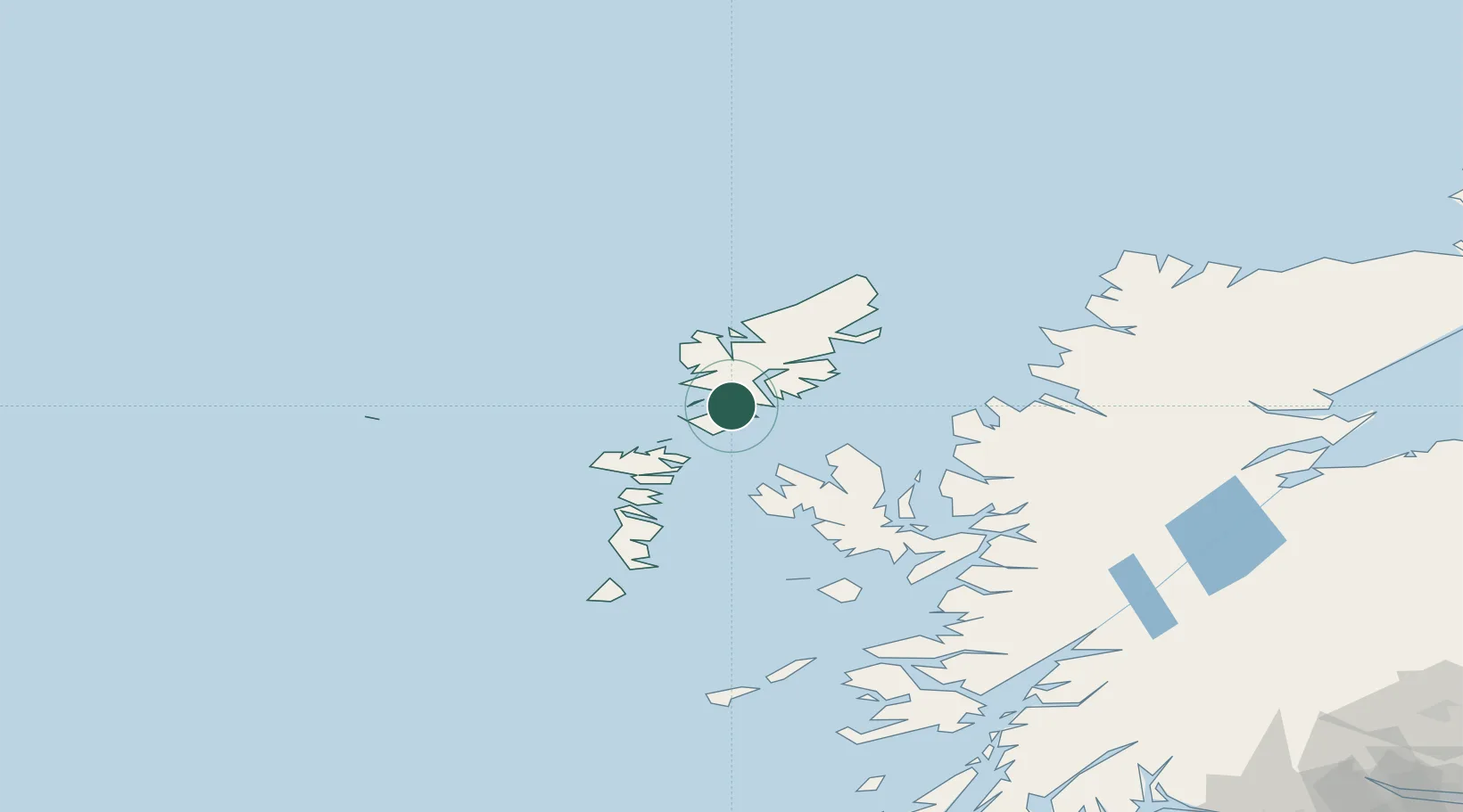
Nearby Logistics Neighbours

Cities
  1. 1Tarbert,Harris4 km
  2. 2Scalpay, Outer Hebridies11 km
  3. 3Leverburgh, Harris16 km
  4. 4Aird Ma Ruibhe28 km
  5. 5Otternish, North Uist29 km
Nearest neighbours — logibook spatial index (haversine) over the source coordinates
Ports
  1. 1Tarbert4 km
  2. 2Lochmaddy36 km
  3. 3Stornoway Harbor45 km
  4. 4Uig45 km
  5. 5Portree Harbor65 km
Nearest neighbours — logibook spatial index (haversine) over the source coordinates
Airports
  1. 1Stornoway Airport49 km
  2. 2Benbecula Airport54 km
  3. 3Barra Airport102 km
  4. 4Coll Airport143 km
  5. 5Tiree Airport154 km
Nearest neighbours — logibook spatial index (haversine) over the source coordinates
Trade Zones
  1. 1Prestwick Airport Free Zone298 km
  2. 2Carlisle Kingmoor Park Enterprise Zone406 km
  3. 3Isle of Man Free Zone and Business Park444 km
  4. 4Dublin International Financial Services Centre506 km
  5. 5Blackpool Enterprise Zone516 km
Nearest neighbours — logibook spatial index (haversine) over the source coordinates
DatabookThe Record of Consolidated Knowledge
United Kingdom beyond logistics?
Browse databook

All Sources

LocationsUN/LOCODE
UN/LOCODE — free
Portsthe NGA World Port Index
Public domain (US gov)
AirportsOurAirports
Public domain
Trade Zonesthe World Bank SEZ database
CC BY 4.0
Trade ZonesOpen Zone Map
CC BY
← United Kingdom locations