Medium airport · United Kingdom
Tiree AirportEGPU
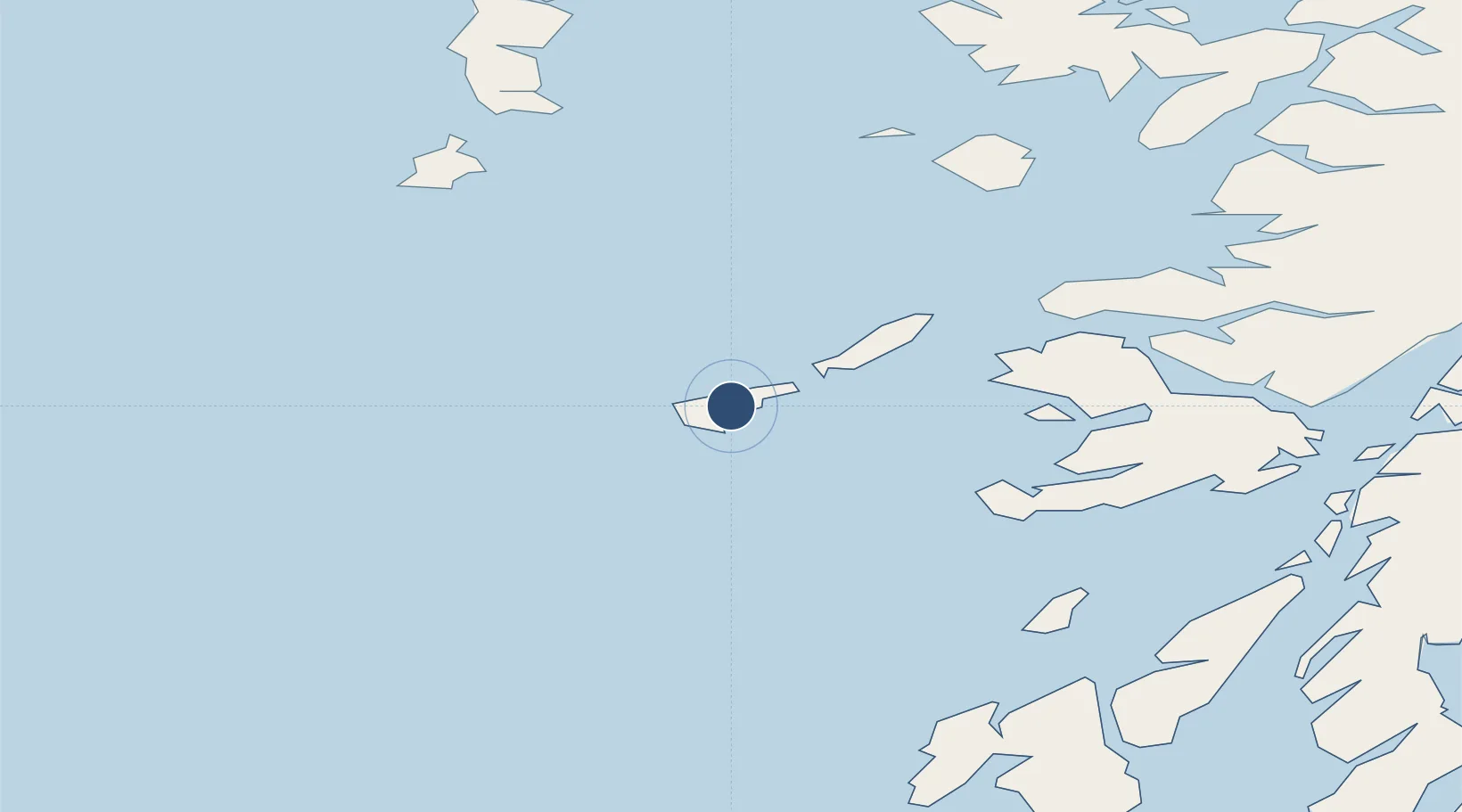
56.4992°, -6.8692°
4,600 ft
Longest runway
3
Runways
38 ft
Elevation
Runway & Layout

Radio Frequencies
INFO
122.705 MHz
AFIS
Navaids
TIR VOR-DME Tiree 117.70 MHz
Runways · 3
| Runway | Dimensions | Surface | True heading | Lit |
|---|---|---|---|---|
| 05/23 | 4,600 × 98ft | Asphalt | 047° | ✓ |
| 11/29 | 2,690 × 62ft | Asphalt | 110° | ✓ |
| 17/35 | 2,598 × 59ft | Concrete | 168° | — |
Airport Specifications
IATA code
TRE
ICAO code
EGPU
Airport class
Medium airport
Scheduled service
Yes
Runway surface
Asphalt
Served city
Balemartine, Argyll and Bute
Location
Nearby Logistics Neighbours
Airports
- 1Coll Airport19 km
- 2Colonsay Airstrip63 km
- 3Barra Airport68 km
- 4Oban Airport90 km
- 5Islay Airport98 km
Cities
- 1Scarinish, Tiree4 km
- 2Arinagour24 km
- 3Coll25 km
- 4Baile Mor, Iona34 km
- 5Fionnphort, Isle of Mull37 km
Ports
- 1Tobermory51 km
- 2Castle Bay63 km
- 3Lochaline68 km
- 4Craignure72 km
- 5Lochboisdale77 km
Trade Zones
DatabookThe Record of Consolidated Knowledge
United Kingdom beyond logistics?