UN/LOCODE hub · United Kingdom
GBESK

Eishken

57.8500°, -6.3667°
1
Transport functions

Transport Functions

Port
UN/LOCODE

Hub Profile

Place type
Populated place
GeoNames
Region
Scotland
GeoNames
Time zone
Europe/London
GeoNames
Elevation
21 m
GeoNames

Location

Location of GBESK
Natural Earth 10m (public domain) · Scotland · GBESK · 57.85, -6.37GoogleOSMYandex

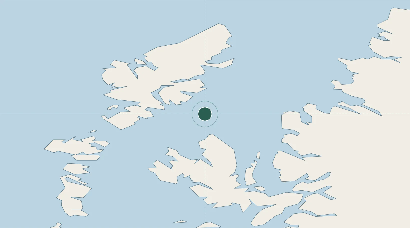
Nearby Logistics Neighbours

Cities
  1. 1Stockinish13 km
  2. 2Loch Torridon14 km
  3. 3South Harris19 km
  4. 4Scalpay, Outer Hebridies19 km
  5. 5Tarbert,Harris26 km
Nearest neighbours — logibook spatial index (haversine) over the source coordinates
Ports
  1. 1Tarbert27 km
  2. 2Uig30 km
  3. 3Stornoway Harbor37 km
  4. 4Gairloch43 km
  5. 5Aultbea46 km
Nearest neighbours — logibook spatial index (haversine) over the source coordinates
Airports
  1. 1Stornoway Airport41 km
  2. 2Benbecula Airport72 km
  3. 3Barra Airport112 km
  4. 4Coll Airport140 km
  5. 5Inverness Airport142 km
Nearest neighbours — logibook spatial index (haversine) over the source coordinates
Trade Zones
  1. 1Prestwick Airport Free Zone282 km
  2. 2Carlisle Kingmoor Park Enterprise Zone386 km
  3. 3Isle of Man Free Zone and Business Park432 km
  4. 4Blackpool Enterprise Zone499 km
  5. 5Hillhouse Enterprise Zone500 km
Nearest neighbours — logibook spatial index (haversine) over the source coordinates
DatabookThe Record of Consolidated Knowledge
United Kingdom beyond logistics?
Browse databook

All Sources

LocationsUN/LOCODE
UN/LOCODE — free
Portsthe NGA World Port Index
Public domain (US gov)
AirportsOurAirports
Public domain
Trade Zonesthe World Bank SEZ database
CC BY 4.0
Trade ZonesOpen Zone Map
CC BY
← United Kingdom locations