UN/LOCODE hub · United Kingdom
GBLVR

Leverburgh, Harris

57.7667°, -7.0167°
2
Transport functions

Transport Functions

Port
Road
UN/LOCODE

Hub Profile

Region
ELS
GeoNames

Location

Location of GBLVR
Natural Earth 10m (public domain) · ELS · GBLVR · 57.77, -7.02GoogleOSMYandex

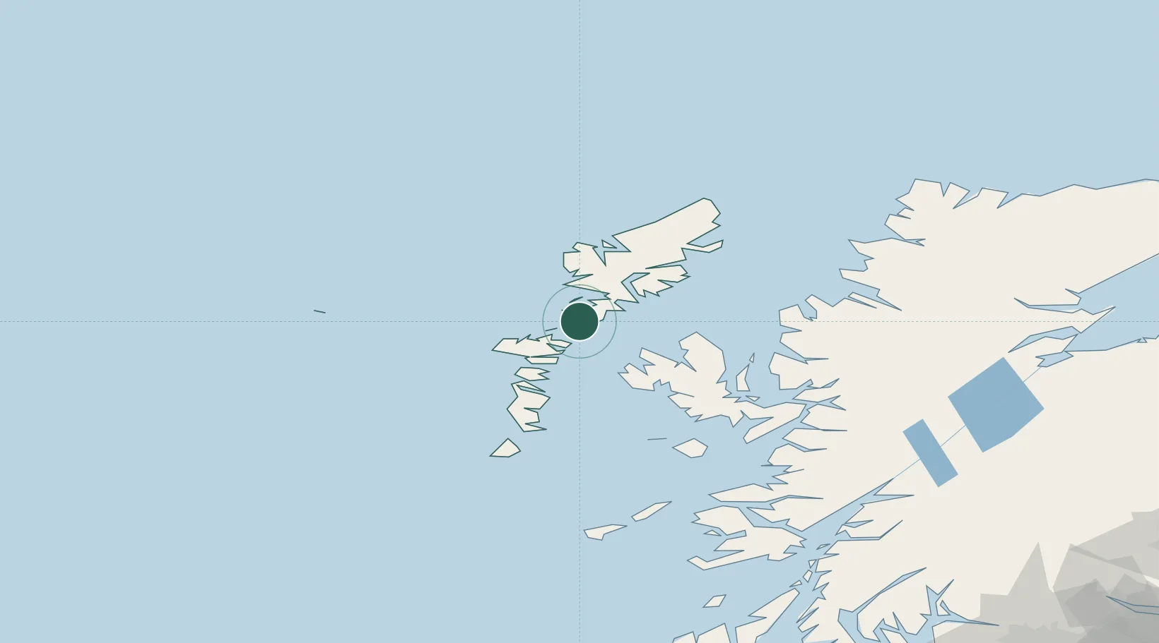
Nearby Logistics Neighbours

Cities
  1. 1Aird Ma Ruibhe12 km
  2. 2Otternish, North Uist14 km
  3. 3North Harris16 km
  4. 4Tarbert,Harris20 km
  5. 5North Uist20 km
Nearest neighbours — logibook spatial index (haversine) over the source coordinates
Ports
  1. 1Tarbert19 km
  2. 2Lochmaddy21 km
  3. 3Uig45 km
  4. 4Stornoway Harbor60 km
  5. 5Portree Harbor62 km
Nearest neighbours — logibook spatial index (haversine) over the source coordinates
Airports
  1. 1Benbecula Airport38 km
  2. 2Stornoway Airport64 km
  3. 3Barra Airport87 km
  4. 4Coll Airport132 km
  5. 5Tiree Airport141 km
Nearest neighbours — logibook spatial index (haversine) over the source coordinates
Trade Zones
  1. 1Prestwick Airport Free Zone291 km
  2. 2Carlisle Kingmoor Park Enterprise Zone402 km
  3. 3Isle of Man Free Zone and Business Park435 km
  4. 4Dublin International Financial Services Centre494 km
  5. 5Blackpool Enterprise Zone509 km
Nearest neighbours — logibook spatial index (haversine) over the source coordinates
DatabookThe Record of Consolidated Knowledge
United Kingdom beyond logistics?
Browse databook

All Sources

LocationsUN/LOCODE
UN/LOCODE — free
Portsthe NGA World Port Index
Public domain (US gov)
AirportsOurAirports
Public domain
Trade Zonesthe World Bank SEZ database
CC BY 4.0
Trade ZonesOpen Zone Map
CC BY
← United Kingdom locations