Channel & Berth Profile
Pilotage, Tugs & Services
Pilotage compulsoryNO
Pilotage availableYES
Tug assistanceNO
Salvage tugsNO
Potable waterYES
MedicalYES
Garbage disposalYES
Facilities & Capabilities
Container—
Ro-Ro—
Liquid bulk—
Dry bulk—
Oil terminal—
Break bulk—
Dry dock—
RepairsNO
BunkeringYES
Rail link—
Dangerous cargo—
ISPS security—
Harbour Specifications
Harbour size
Very Small
Harbour type
Coastal (Natural)
Shelter
Good
Water body
North Atlantic Ocean
Tidal range
2 m
Pilotage
No
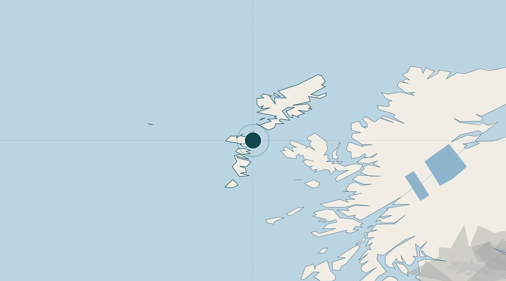
Location
Nearby Logistics Neighbours
Ports
- 1Tarbert39 km
- 2Uig49 km
- 3Lochboisdale51 km
- 4Portree Harbor61 km
- 5Castle Bay75 km
Cities
- 1North Uist1 km
- 2Bernera (N Uist)1 km
- 3Otternish, North Uist9 km
- 4Aird Ma Ruibhe11 km
- 5Kallin (Ceallan), Isle of Grimsay13 km
Airports
- 1Benbecula Airport18 km
- 2Barra Airport66 km
- 3Stornoway Airport84 km
- 4Coll Airport116 km
- 5Tiree Airport124 km
Trade Zones
DatabookThe Record of Consolidated Knowledge
United Kingdom beyond logistics?