UN/LOCODE hub · United Kingdom
GBSCC

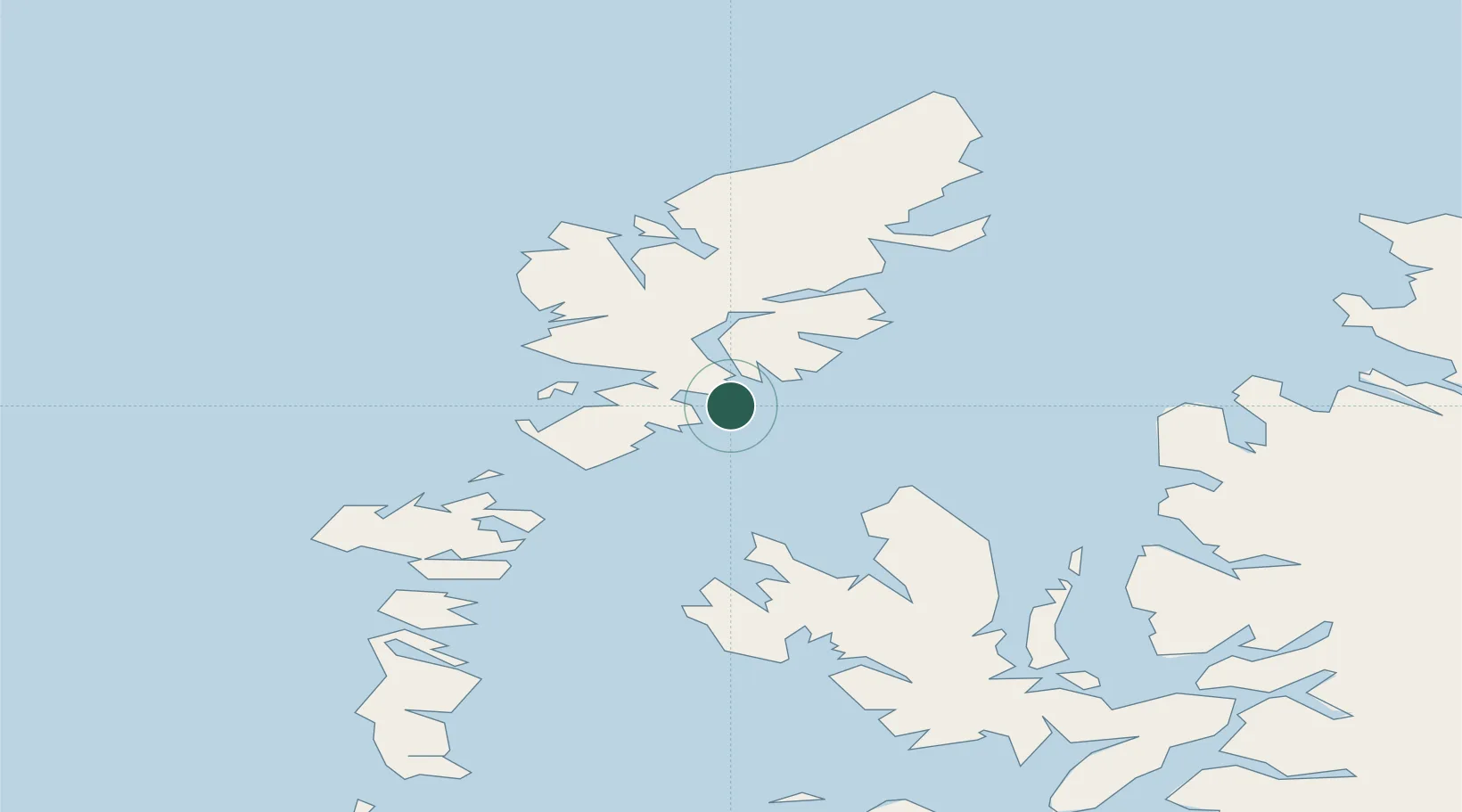
Scalpay, Outer Hebridies

57.8667°, -6.6833°
2
Transport functions

Transport Functions

Port
Road
UN/LOCODE

Hub Profile

Region
ELS
GeoNames

Location

Location of GBSCC
Natural Earth 10m (public domain) · ELS · GBSCC · 57.87, -6.68GoogleOSMYandex

Nearby Logistics Neighbours

Cities
  1. 1Tarbert,Harris8 km
  2. 2North Harris11 km
  3. 3Eishken19 km
  4. 4Leverburgh, Harris23 km
  5. 5South Harris26 km
Nearest neighbours — logibook spatial index (haversine) over the source coordinates
Ports
  1. 1Tarbert9 km
  2. 2Uig37 km
  3. 3Stornoway Harbor40 km
  4. 4Lochmaddy41 km
  5. 5Portree Harbor58 km
Nearest neighbours — logibook spatial index (haversine) over the source coordinates
Airports
  1. 1Stornoway Airport44 km
  2. 2Benbecula Airport59 km
  3. 3Barra Airport104 km
  4. 4Coll Airport141 km
  5. 5Tiree Airport153 km
Nearest neighbours — logibook spatial index (haversine) over the source coordinates
Trade Zones
  1. 1Prestwick Airport Free Zone291 km
  2. 2Carlisle Kingmoor Park Enterprise Zone398 km
  3. 3Isle of Man Free Zone and Business Park439 km
  4. 4Dublin International Financial Services Centre503 km
  5. 5Blackpool Enterprise Zone509 km
Nearest neighbours — logibook spatial index (haversine) over the source coordinates
DatabookThe Record of Consolidated Knowledge
United Kingdom beyond logistics?
Browse databook

All Sources

LocationsUN/LOCODE
UN/LOCODE — free
Portsthe NGA World Port Index
Public domain (US gov)
AirportsOurAirports
Public domain
Trade Zonesthe World Bank SEZ database
CC BY 4.0
Trade ZonesOpen Zone Map
CC BY
← United Kingdom locations