UN/LOCODE hub · United Kingdom
GBNRR

North Roe to Hillswick

60.5833°, -1.3333°
1
Transport functions

Transport Functions

Port
UN/LOCODE

Hub Profile

Region
ZET
GeoNames

Location

Location of GBNRR
Natural Earth 10m (public domain) · ZET · GBNRR · 60.58, -1.33GoogleOSMYandex

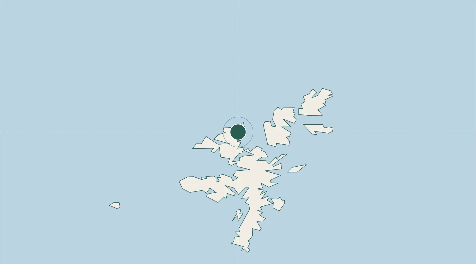
Nearby Logistics Neighbours

Cities
  1. 1Northmavine6 km
  2. 2Collafirth6 km
  3. 3Shetland9 km
  4. 4Ulsta, Yell13 km
  5. 5Sullom Voe13 km
Nearest neighbours — logibook spatial index (haversine) over the source coordinates
Ports
  1. 1Sullom Voe13 km
  2. 2Lerwick47 km
  3. 3Scalloway50 km
  4. 4Kettletoft166 km
  5. 5Pierowall168 km
Nearest neighbours — logibook spatial index (haversine) over the source coordinates
Airports
  1. 1Lerwick / Tingwall Airport44 km
  2. 2Foula Airfield65 km
  3. 3Sumburgh Airport78 km
  4. 4Fair Isle Airport118 km
  5. 5North Ronaldsay Airport148 km
Nearest neighbours — logibook spatial index (haversine) over the source coordinates
Trade Zones
  1. 1Prestwick Airport Free Zone596 km
  2. 2North Eastern Enterprise Zone625 km
  3. 3Carlisle Kingmoor Park Enterprise Zone636 km
  4. 4Tees Valley Enterprise Zone665 km
  5. 5York Central Enterprise Zone737 km
Nearest neighbours — logibook spatial index (haversine) over the source coordinates
DatabookThe Record of Consolidated Knowledge
United Kingdom beyond logistics?
Browse databook

All Sources

LocationsUN/LOCODE
UN/LOCODE — free
Portsthe NGA World Port Index
Public domain (US gov)
AirportsOurAirports
Public domain
Trade Zonesthe World Bank SEZ database
CC BY 4.0
Trade ZonesOpen Zone Map
CC BY
← United Kingdom locations