Transport Functions
Port
Road
Hub Profile
Region
ZET
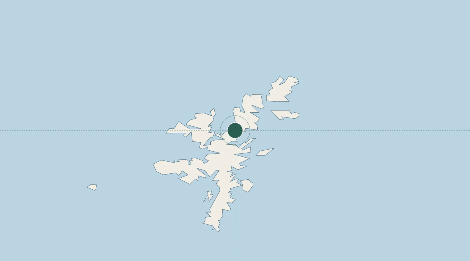
Location
Nearby Logistics Neighbours
Cities
- 1Shetland5 km
- 2Toft Shetland5 km
- 3Sullom Voe8 km
- 4Burravoe8 km
- 5Collafirth12 km
Ports
- 1Sullom Voe8 km
- 2Lerwick37 km
- 3Scalloway41 km
- 4Kettletoft162 km
- 5Pierowall166 km
Airports
- 1Lerwick / Tingwall Airport35 km
- 2Foula Airfield64 km
- 3Sumburgh Airport69 km
- 4Fair Isle Airport110 km
- 5North Ronaldsay Airport144 km
Trade Zones
DatabookThe Record of Consolidated Knowledge
United Kingdom beyond logistics?