Transport Functions
Port
Hub Profile
Region
ZET
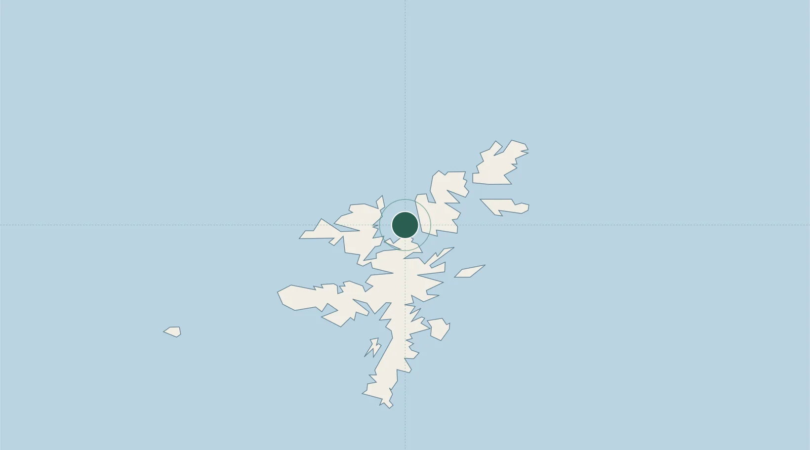
Location
Nearby Logistics Neighbours
Cities
- 1Ulsta, Yell5 km
- 2Toft Shetland7 km
- 3Collafirth8 km
- 4North Roe to Hillswick9 km
- 5Sullom Voe9 km
Ports
- 1Sullom Voe9 km
- 2Lerwick41 km
- 3Scalloway45 km
- 4Kettletoft164 km
- 5Pierowall167 km
Airports
- 1Lerwick / Tingwall Airport38 km
- 2Foula Airfield65 km
- 3Sumburgh Airport73 km
- 4Fair Isle Airport113 km
- 5North Ronaldsay Airport146 km
Trade Zones
DatabookThe Record of Consolidated Knowledge
United Kingdom beyond logistics?