Transport Functions
Port
Road
Hub Profile
Place type
Populated place
Region
Scotland
Time zone
Europe/London
Elevation
25 m
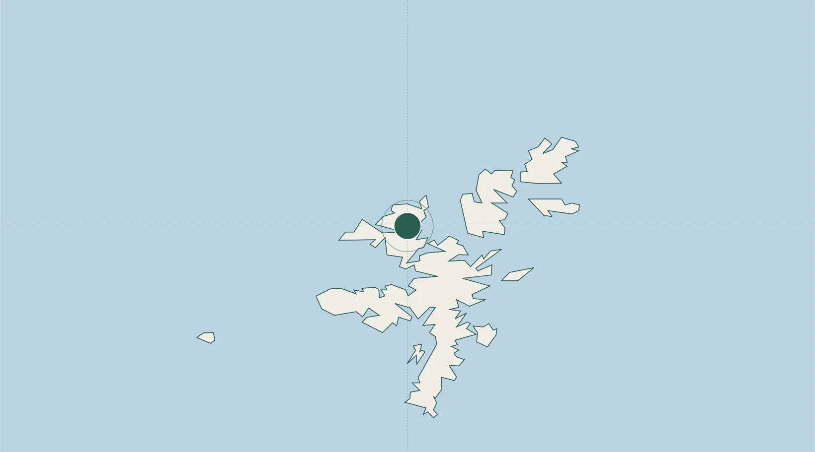
Location
Nearby Logistics Neighbours
Cities
- 1North Roe to Hillswick6 km
- 2Shetland8 km
- 3Sullom Voe8 km
- 4Eshaness11 km
- 5Toft Shetland11 km
Ports
- 1Sullom Voe8 km
- 2Lerwick42 km
- 3Scalloway45 km
- 4Kettletoft160 km
- 5Pierowall163 km
Airports
- 1Lerwick / Tingwall Airport39 km
- 2Foula Airfield59 km
- 3Sumburgh Airport73 km
- 4Fair Isle Airport112 km
- 5North Ronaldsay Airport143 km
Trade Zones
DatabookThe Record of Consolidated Knowledge
United Kingdom beyond logistics?