Transport Functions
Port
Hub Profile
Region
ZET
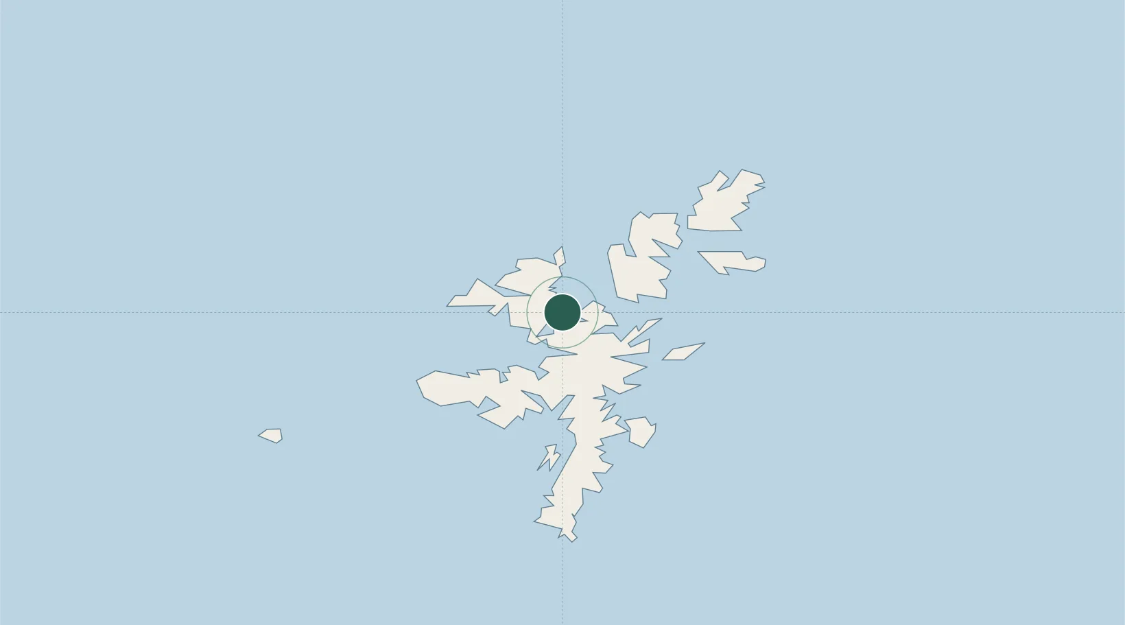
Location
Nearby Logistics Neighbours
Cities
- 1Toft Shetland5 km
- 2Ulsta, Yell8 km
- 3Collafirth8 km
- 4Shetland9 km
- 5North Roe to Hillswick13 km
Ports
- 1Lerwick34 km
- 2Scalloway37 km
- 3Kettletoft155 km
- 4Pierowall159 km
- 5Whitehall165 km
Airports
- 1Lerwick / Tingwall Airport31 km
- 2Foula Airfield57 km
- 3Sumburgh Airport65 km
- 4Fair Isle Airport105 km
- 5North Ronaldsay Airport138 km
Trade Zones
DatabookThe Record of Consolidated Knowledge
United Kingdom beyond logistics?