Transport Functions
Port
Road
Hub Profile
Place type
Populated place
Region
Scotland
Population
750
Time zone
Europe/London
Elevation
34 m
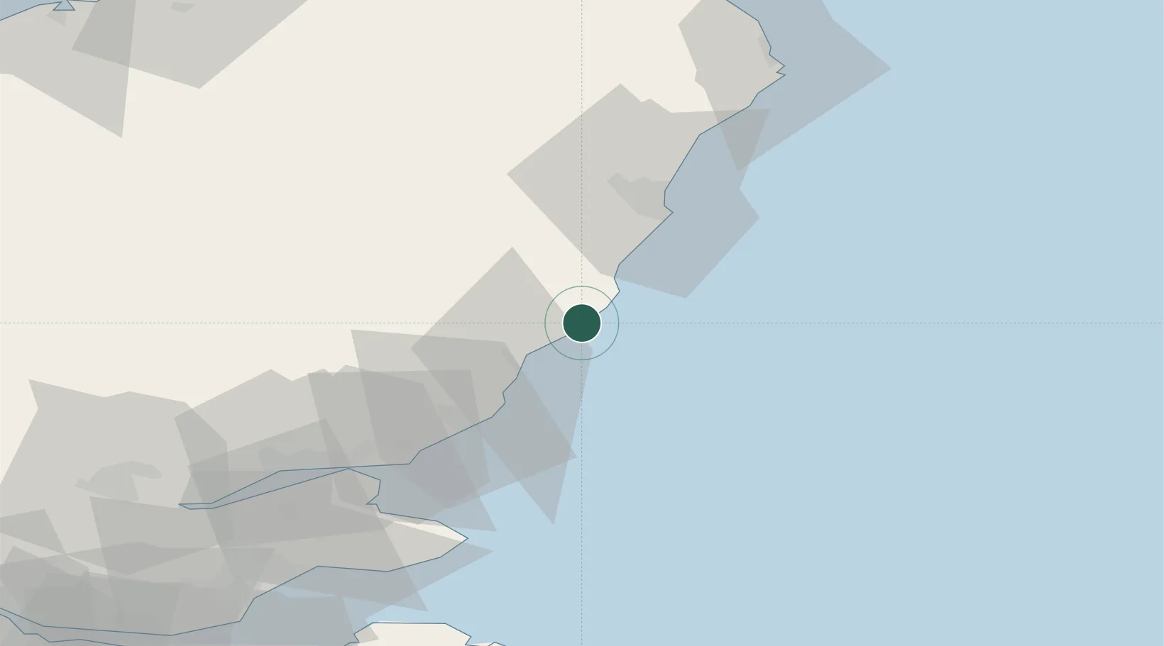
Location
Nearby Logistics Neighbours
Cities
- 1Johnshaven5 km
- 2Stonehaven15 km
- 3Montrose18 km
- 4Peterculter28 km
- 5Cove (Aberdeen)32 km
Airports
- 1Aberdeen International Airport41 km
- 2Dundee Airport62 km
- 3Leuchars Station Airfield62 km
- 4RAF Lossiemouth116 km
- 5Edinburgh Airport119 km
Trade Zones
DatabookThe Record of Consolidated Knowledge
United Kingdom beyond logistics?