Transport Functions
Port
Road
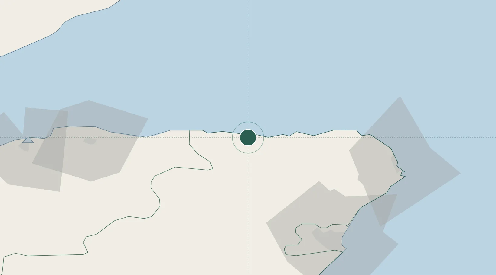
Hub Profile
Place type
Populated place
Region
Scotland
Population
4,020
Time zone
Europe/London
Elevation
51 m
Location
Nearby Logistics Neighbours
Cities
- 1Whitehills2 km
- 2Macduff3 km
- 3Portsoy9 km
- 4Gardenstown12 km
- 5Pennan16 km
Ports
- 1Macduff2 km
- 2Buckie Harbor26 km
- 3Fraserburgh Harbor32 km
- 4Lossiemouth45 km
- 5Peterhead48 km
Airports
- 1RAF Lossiemouth48 km
- 2Aberdeen International Airport55 km
- 3Inverness Airport91 km
- 4Wick John O'Groats Airport94 km
- 5Dundee Airport138 km
Trade Zones
DatabookThe Record of Consolidated Knowledge
United Kingdom beyond logistics?