Transport Functions
Port
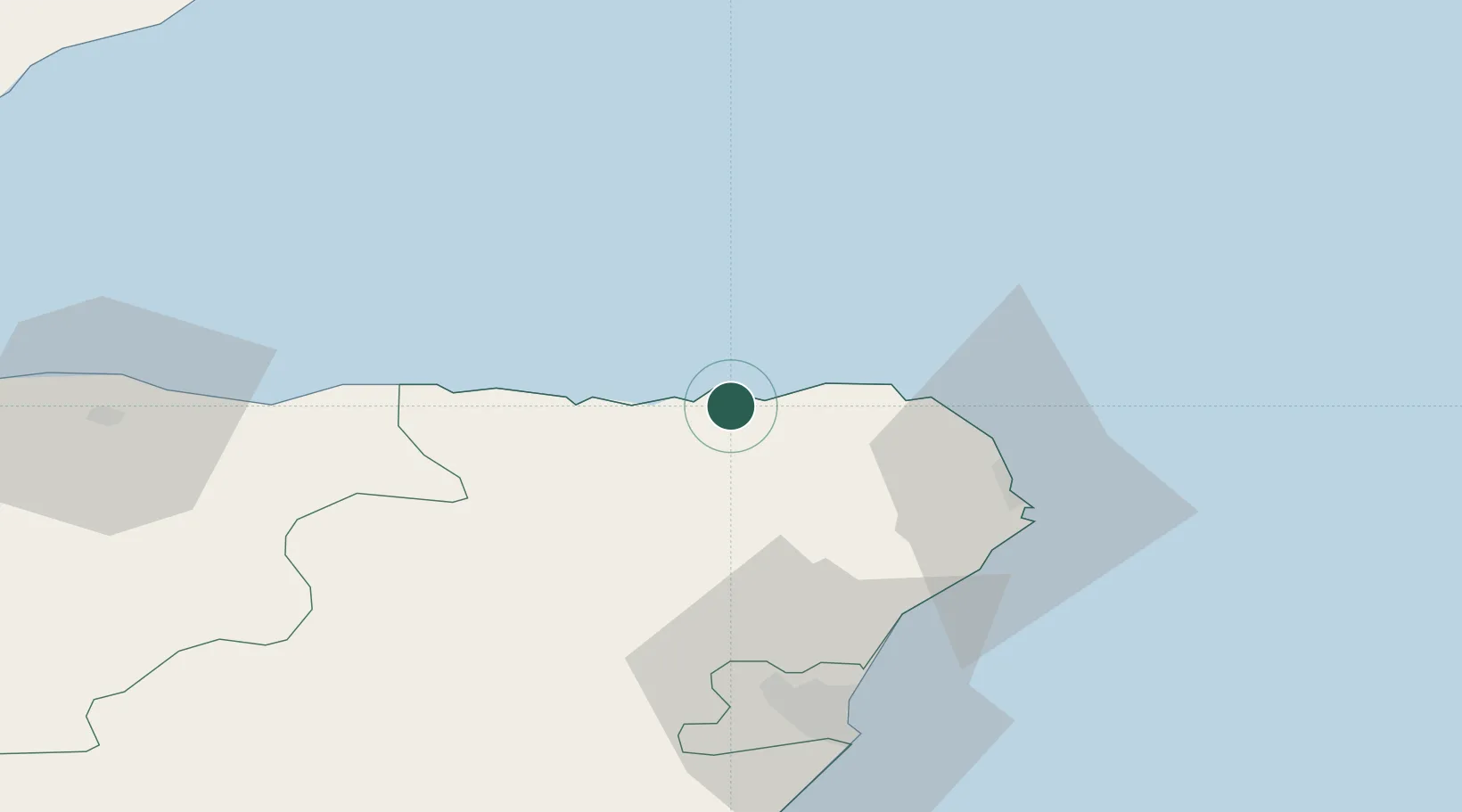
Hub Profile
Place type
Populated place
Region
Scotland
Time zone
Europe/London
Elevation
29 m
Location
Nearby Logistics Neighbours
Cities
- 1Gardenstown4 km
- 2Rosehearty11 km
- 3Macduff13 km
- 4Sandhaven and Pitullie14 km
- 5Fraserburgh15 km
Ports
- 1Macduff14 km
- 2Fraserburgh Harbor16 km
- 3Peterhead34 km
- 4Buckie Harbor42 km
- 5Aberdeen59 km
Airports
- 1Aberdeen International Airport52 km
- 2RAF Lossiemouth64 km
- 3Wick John O'Groats Airport101 km
- 4Inverness Airport107 km
- 5Dundee Airport143 km
Trade Zones
DatabookThe Record of Consolidated Knowledge
United Kingdom beyond logistics?