UN/LOCODE hub · United Kingdom
GBHTS
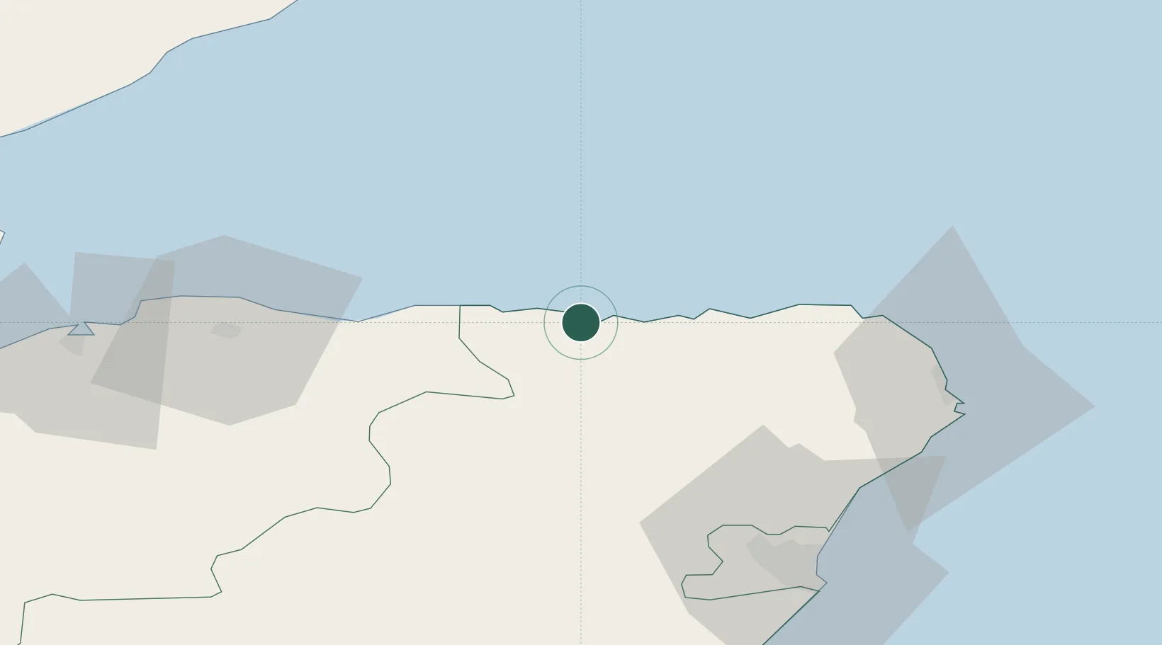
Whitehills
57.6667°, -2.5667°
1,140
Population
1
Transport functions
Transport Functions
Port
Hub Profile
Place type
Populated place
Region
Scotland
Population
1,140
Time zone
Europe/London
Elevation
15 m
Location
Nearby Logistics Neighbours
Cities
- 1Banff2 km
- 2Macduff5 km
- 3Portsoy7 km
- 4Gardenstown14 km
- 5Pennan18 km
Ports
- 1Macduff4 km
- 2Buckie Harbor24 km
- 3Fraserburgh Harbor34 km
- 4Lossiemouth43 km
- 5Peterhead50 km
Airports
- 1RAF Lossiemouth46 km
- 2Aberdeen International Airport56 km
- 3Inverness Airport89 km
- 4Wick John O'Groats Airport93 km
- 5Dundee Airport138 km
Trade Zones
DatabookThe Record of Consolidated Knowledge
United Kingdom beyond logistics?