Transport Functions
Port
Road
Hub Profile
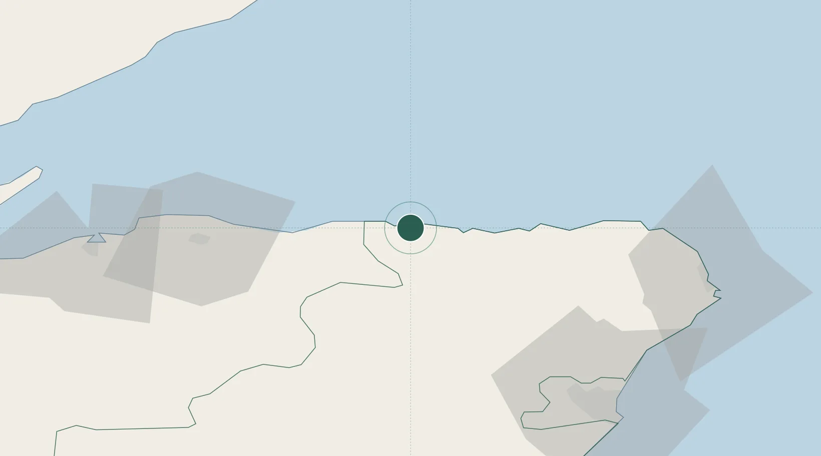
Place type
Populated place
Region
Scotland
Population
1,730
Time zone
Europe/London
Elevation
24 m
Location
Nearby Logistics Neighbours
Cities
- 1Whitehills7 km
- 2Banff9 km
- 3Portknockie11 km
- 4Macduff12 km
- 5Findochty13 km
Ports
- 1Macduff11 km
- 2Buckie Harbor17 km
- 3Lossiemouth36 km
- 4Fraserburgh Harbor41 km
- 5Burghead49 km
Airports
- 1RAF Lossiemouth39 km
- 2Aberdeen International Airport61 km
- 3Inverness Airport83 km
- 4Wick John O'Groats Airport90 km
- 5Dundee Airport138 km
Trade Zones
DatabookThe Record of Consolidated Knowledge
United Kingdom beyond logistics?