Transport Functions
Port
Road
Hub Profile
Region
AGB
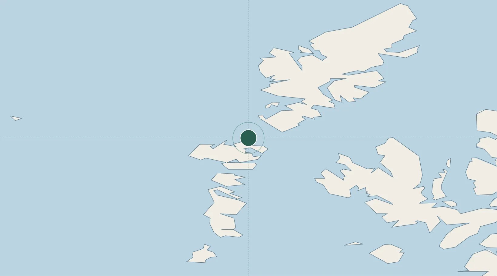
Location
Nearby Logistics Neighbours
Cities
- 1Otternish, North Uist2 km
- 2Lochmaddy11 km
- 3North Uist11 km
- 4Bernera (N Uist)11 km
- 5Leverburgh, Harris12 km
Ports
- 1Lochmaddy11 km
- 2Tarbert31 km
- 3Uig51 km
- 4Lochboisdale62 km
- 5Portree Harbor67 km
Airports
- 1Benbecula Airport27 km
- 2Stornoway Airport76 km
- 3Barra Airport77 km
- 4Coll Airport127 km
- 5Tiree Airport135 km
Trade Zones
DatabookThe Record of Consolidated Knowledge
United Kingdom beyond logistics?