UN/LOCODE hub · United Kingdom
GBKAL

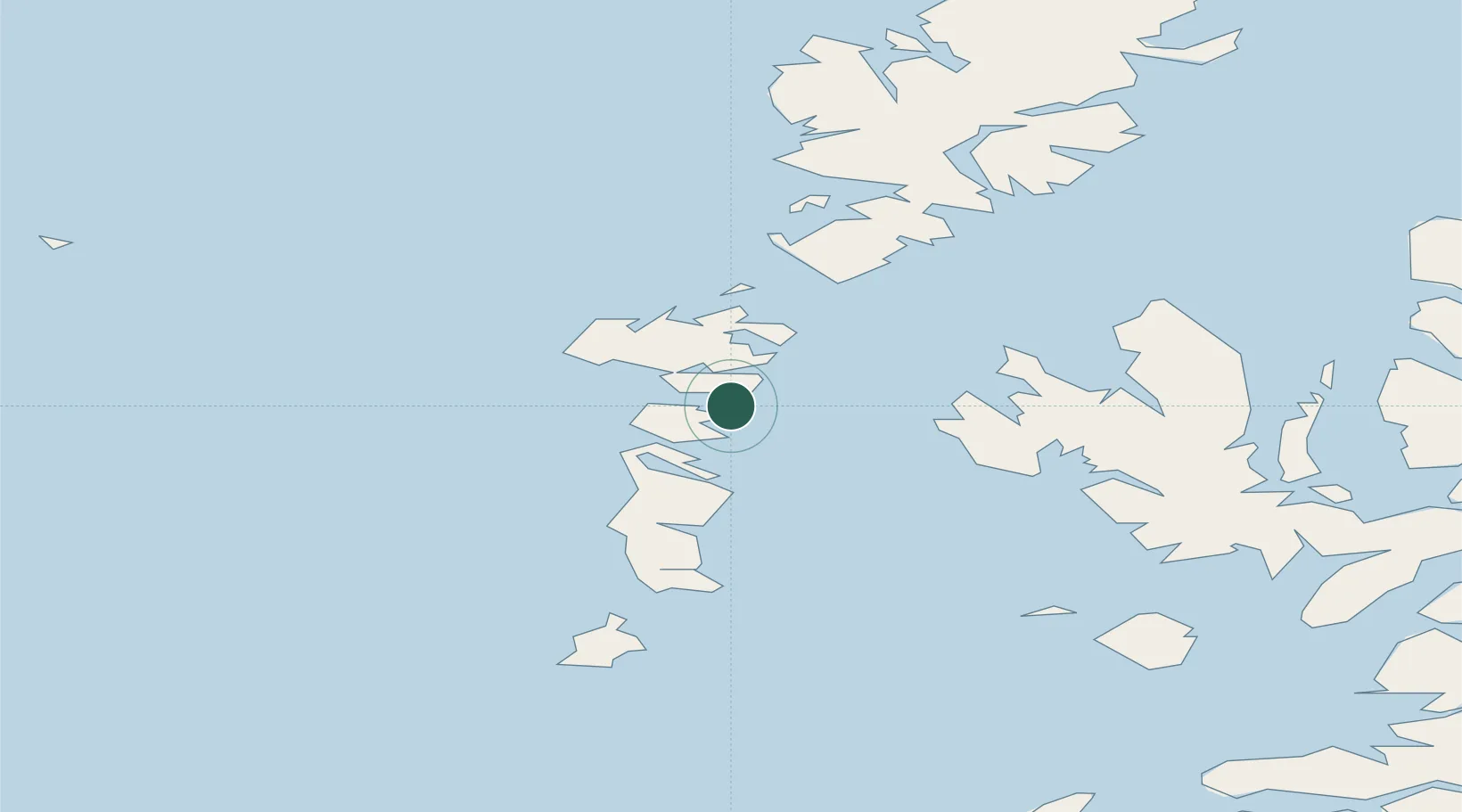
Kallin (Ceallan), Isle of Grimsay

57.4833°, -7.2000°
2
Transport functions

Transport Functions

Port
Road
UN/LOCODE

Hub Profile

Region
ELS
GeoNames

Location

Location of GBKAL
Natural Earth 10m (public domain) · ELS · GBKAL · 57.48, -7.20GoogleOSMYandex

Nearby Logistics Neighbours

Cities
  1. 1Grimsay2 km
  2. 2Lochmaddy13 km
  3. 3North Uist13 km
  4. 4Bernera (N Uist)13 km
  5. 5Loch Carnan17 km
Nearest neighbours — logibook spatial index (haversine) over the source coordinates
Ports
  1. 1Lochmaddy13 km
  2. 2Lochboisdale38 km
  3. 3Tarbert52 km
  4. 4Uig52 km
  5. 5Portree Harbor60 km
Nearest neighbours — logibook spatial index (haversine) over the source coordinates
Airports
  1. 1Benbecula Airport10 km
  2. 2Barra Airport53 km
  3. 3Stornoway Airport96 km
  4. 4Coll Airport104 km
  5. 5Tiree Airport111 km
Nearest neighbours — logibook spatial index (haversine) over the source coordinates
Trade Zones
  1. 1Prestwick Airport Free Zone271 km
  2. 2Carlisle Kingmoor Park Enterprise Zone386 km
  3. 3Isle of Man Free Zone and Business Park410 km
  4. 4Dublin International Financial Services Centre464 km
  5. 5Blackpool Enterprise Zone488 km
Nearest neighbours — logibook spatial index (haversine) over the source coordinates
DatabookThe Record of Consolidated Knowledge
United Kingdom beyond logistics?
Browse databook

All Sources

LocationsUN/LOCODE
UN/LOCODE — free
Portsthe NGA World Port Index
Public domain (US gov)
AirportsOurAirports
Public domain
Trade Zonesthe World Bank SEZ database
CC BY 4.0
Trade ZonesOpen Zone Map
CC BY
← United Kingdom locations