UN/LOCODE hub · United Kingdom
GBNUI

North Uist

57.6000°, -7.1500°
1
Transport functions

Transport Functions

Port
UN/LOCODE

Hub Profile

Region
ELS
GeoNames

Location

Location of GBNUI
Natural Earth 10m (public domain) · ELS · GBNUI · 57.60, -7.15GoogleOSMYandex

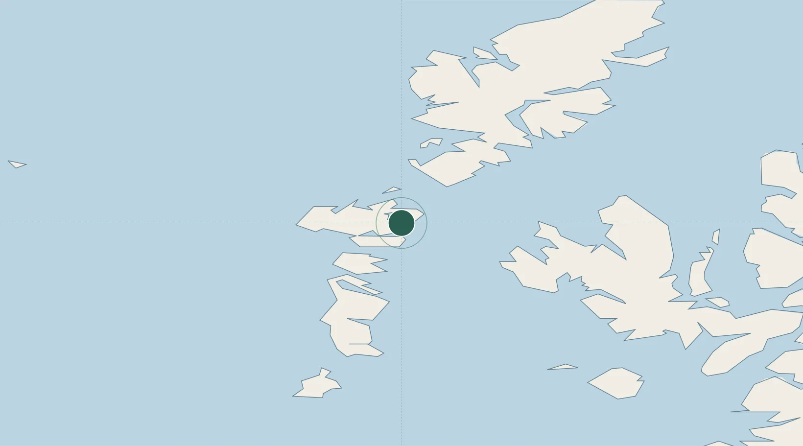
Nearby Logistics Neighbours

Cities
  1. 1Bernera (N Uist)0 km
  2. 2Lochmaddy2 km
  3. 3Otternish, North Uist10 km
  4. 4Aird Ma Ruibhe11 km
  5. 5Kallin (Ceallan), Isle of Grimsay13 km
Nearest neighbours — logibook spatial index (haversine) over the source coordinates
Ports
  1. 1Lochmaddy1 km
  2. 2Tarbert39 km
  3. 3Uig48 km
  4. 4Lochboisdale51 km
  5. 5Portree Harbor60 km
Nearest neighbours — logibook spatial index (haversine) over the source coordinates
Airports
  1. 1Benbecula Airport18 km
  2. 2Barra Airport67 km
  3. 3Stornoway Airport84 km
  4. 4Coll Airport116 km
  5. 5Tiree Airport124 km
Nearest neighbours — logibook spatial index (haversine) over the source coordinates
Trade Zones
  1. 1Prestwick Airport Free Zone280 km
  2. 2Carlisle Kingmoor Park Enterprise Zone393 km
  3. 3Isle of Man Free Zone and Business Park421 km
  4. 4Dublin International Financial Services Centre476 km
  5. 5Blackpool Enterprise Zone498 km
Nearest neighbours — logibook spatial index (haversine) over the source coordinates
DatabookThe Record of Consolidated Knowledge
United Kingdom beyond logistics?
Browse databook

All Sources

LocationsUN/LOCODE
UN/LOCODE — free
Portsthe NGA World Port Index
Public domain (US gov)
AirportsOurAirports
Public domain
Trade Zonesthe World Bank SEZ database
CC BY 4.0
Trade ZonesOpen Zone Map
CC BY
← United Kingdom locations