UN/LOCODE hub · United Kingdom
GBOTR

Otternish, North Uist

57.6833°, -7.1833°
2
Transport functions

Transport Functions

Port
Road
UN/LOCODE

Hub Profile

Region
ELS
GeoNames

Location

Location of GBOTR
Natural Earth 10m (public domain) · ELS · GBOTR · 57.68, -7.18GoogleOSMYandex

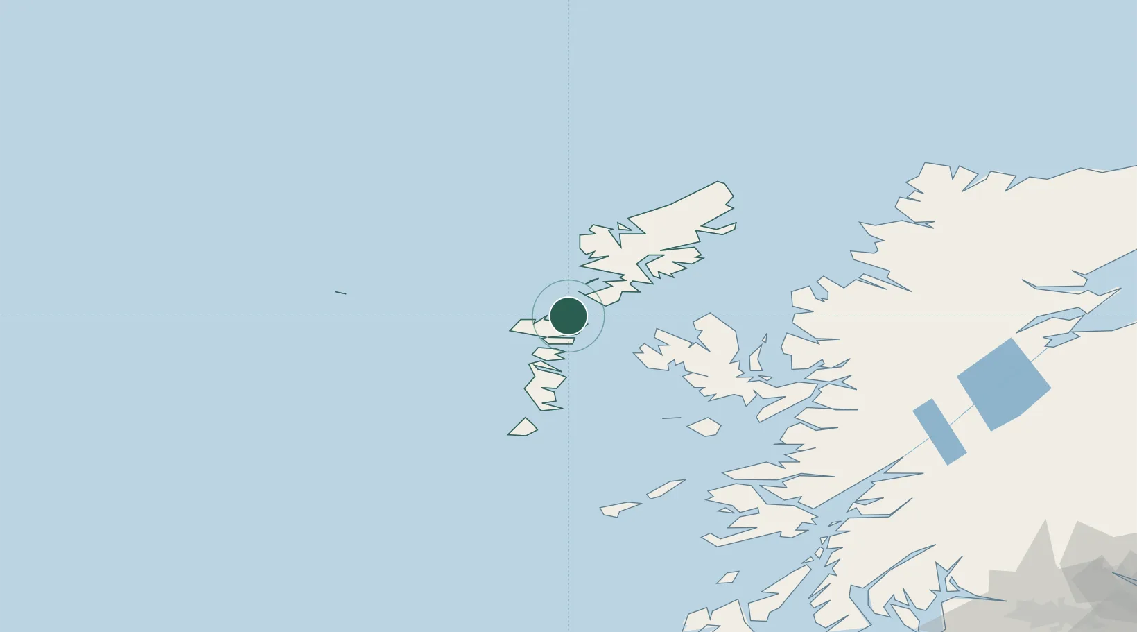
Nearby Logistics Neighbours

Cities
  1. 1Aird Ma Ruibhe2 km
  2. 2Lochmaddy9 km
  3. 3North Uist10 km
  4. 4Bernera (N Uist)10 km
  5. 5Leverburgh, Harris14 km
Nearest neighbours — logibook spatial index (haversine) over the source coordinates
Ports
  1. 1Lochmaddy9 km
  2. 2Tarbert32 km
  3. 3Uig51 km
  4. 4Lochboisdale60 km
  5. 5Portree Harbor66 km
Nearest neighbours — logibook spatial index (haversine) over the source coordinates
Airports
  1. 1Benbecula Airport25 km
  2. 2Barra Airport75 km
  3. 3Stornoway Airport78 km
  4. 4Coll Airport125 km
  5. 5Tiree Airport133 km
Nearest neighbours — logibook spatial index (haversine) over the source coordinates
Trade Zones
  1. 1Prestwick Airport Free Zone288 km
  2. 2Carlisle Kingmoor Park Enterprise Zone401 km
  3. 3Isle of Man Free Zone and Business Park430 km
  4. 4Dublin International Financial Services Centre486 km
  5. 5Blackpool Enterprise Zone506 km
Nearest neighbours — logibook spatial index (haversine) over the source coordinates
DatabookThe Record of Consolidated Knowledge
United Kingdom beyond logistics?
Browse databook

All Sources

LocationsUN/LOCODE
UN/LOCODE — free
Portsthe NGA World Port Index
Public domain (US gov)
AirportsOurAirports
Public domain
Trade Zonesthe World Bank SEZ database
CC BY 4.0
Trade ZonesOpen Zone Map
CC BY
← United Kingdom locations