Transport Functions
Port
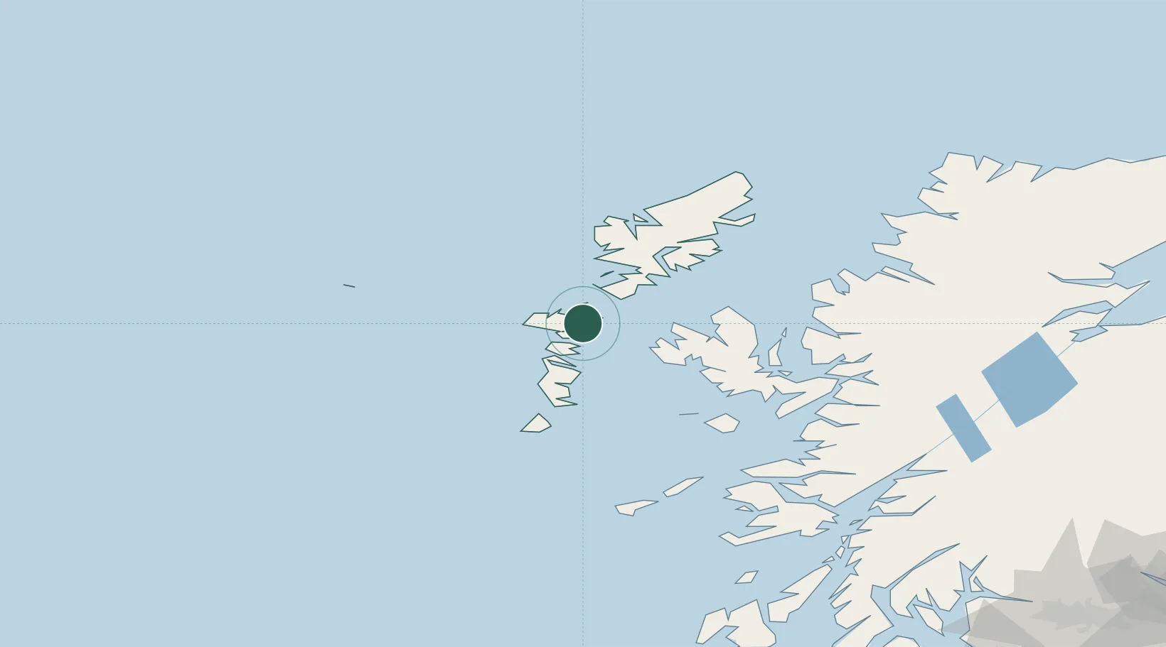
Hub Profile
Place type
Populated place
Region
Scotland
Time zone
Europe/London
Elevation
2 m
Location
Nearby Logistics Neighbours
Cities
- 1North Uist2 km
- 2Bernera (N Uist)2 km
- 3Otternish, North Uist9 km
- 4Aird Ma Ruibhe11 km
- 5Kallin (Ceallan), Isle of Grimsay13 km
Ports
- 1Tarbert40 km
- 2Uig50 km
- 3Lochboisdale51 km
- 4Portree Harbor62 km
- 5Castle Bay75 km
Airports
- 1Benbecula Airport17 km
- 2Barra Airport66 km
- 3Stornoway Airport85 km
- 4Coll Airport116 km
- 5Tiree Airport124 km
Trade Zones
DatabookThe Record of Consolidated Knowledge
United Kingdom beyond logistics?