Channel & Berth Profile
Pilotage, Tugs & Services
Pilotage compulsoryNO
Pilotage availableYES
Pilotage advisableYES
Tug assistanceNO
Potable waterYES
MedicalYES
Garbage disposalYES
Facilities & Capabilities
Container—
Ro-Ro—
Liquid bulk—
Dry bulk—
Oil terminal—
Break bulk—
Dry dock—
Repairs—
Bunkering—
Rail link—
Dangerous cargo—
ISPS security—
Harbour Specifications
Harbour size
Very Small
Harbour type
Coastal (Natural)
Shelter
Poor
Water body
North Atlantic Ocean
Tidal range
3 m
Pilotage
No
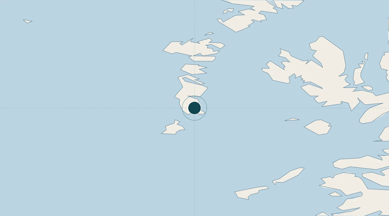
Location
Nearby Logistics Neighbours
Ports
- 1Castle Bay25 km
- 2Lochmaddy51 km
- 3Portree Harbor73 km
- 4Uig75 km
- 5Broadford Bay86 km
Cities
- 1Ceann a Gharaidh, Eriskay9 km
- 2South Uist and Eriskay10 km
- 3Aird Mhor (Ardmhor)16 km
- 4Ardveenish18 km
- 5Northbay18 km
Airports
- 1Barra Airport17 km
- 2Benbecula Airport37 km
- 3Coll Airport74 km
- 4Tiree Airport77 km
- 5Stornoway Airport132 km
Trade Zones
DatabookThe Record of Consolidated Knowledge
United Kingdom beyond logistics?