Channel & Berth Profile
Pilotage, Tugs & Services
Pilotage compulsoryNO
Pilotage availableNO
Potable waterYES
Facilities & Capabilities
Container—
Ro-Ro—
Liquid bulk—
Dry bulk—
Oil terminal—
Break bulk—
Dry dock—
Repairs—
BunkeringYES
Rail link—
Dangerous cargo—
ISPS security—
Harbour Specifications
Harbour size
Very Small
Harbour type
Coastal (Natural)
Shelter
Good
Water body
North Atlantic Ocean
Tidal range
3 m
Pilotage
No
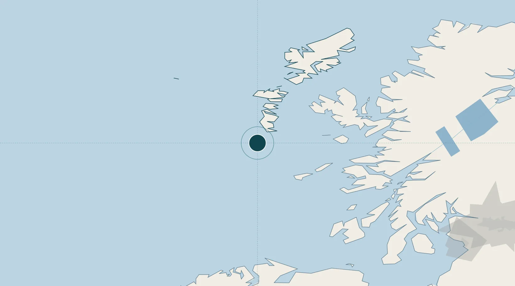
Location
Nearby Logistics Neighbours
Ports
- 1Lochboisdale25 km
- 2Lochmaddy75 km
- 3Portree Harbor93 km
- 4Tobermory94 km
- 5Uig98 km
Cities
- 1Brevig, Barra3 km
- 2Ardveenish8 km
- 3Northbay8 km
- 4Aird Mhor (Ardmhor)8 km
- 5Ceann a Gharaidh, Eriskay18 km
Airports
- 1Barra Airport9 km
- 2Benbecula Airport60 km
- 3Tiree Airport63 km
- 4Coll Airport65 km
- 5Colonsay Airstrip125 km
Trade Zones
DatabookThe Record of Consolidated Knowledge
United Kingdom beyond logistics?