UN/LOCODE hub · United Kingdom
GBBLI
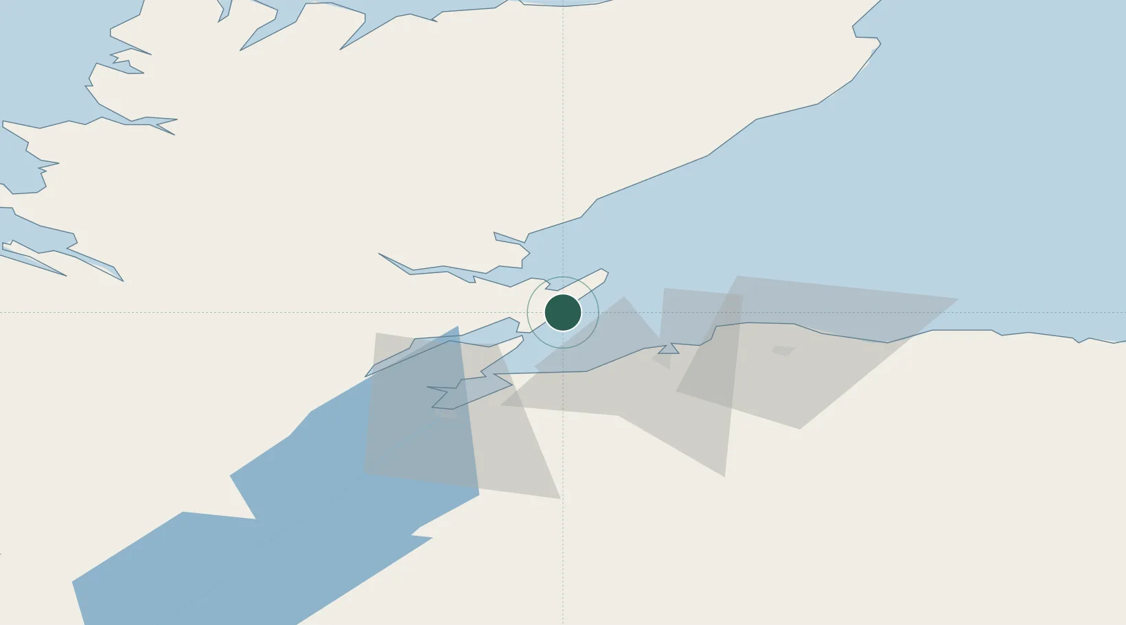
Balintore
57.7500°, -3.9000°
1,090
Population
2
Transport functions
Transport Functions
Port
Road
Hub Profile
Place type
Populated place
Region
Scotland
Population
1,090
Time zone
Europe/London
Elevation
5 m
Location
Nearby Logistics Neighbours
Cities
- 1Nigg7 km
- 2Portmahomack11 km
- 3Tain11 km
- 4Cromarty12 km
- 5Invergordon17 km
Ports
- 1Portmahomack Harbor10 km
- 2Cromarty11 km
- 3Invergordon18 km
- 4Burghead24 km
- 5Inverness36 km
Airports
- 1Inverness Airport25 km
- 2RAF Lossiemouth34 km
- 3Wick John O'Groats Airport92 km
- 4Aberdeen International Airport119 km
- 5Kirkwall Airport146 km
Trade Zones
DatabookThe Record of Consolidated Knowledge
United Kingdom beyond logistics?