Transport Functions
Port
Hub Profile
Place type
Populated place
Region
Scotland
Population
8,430
Time zone
Europe/London
Elevation
28 m
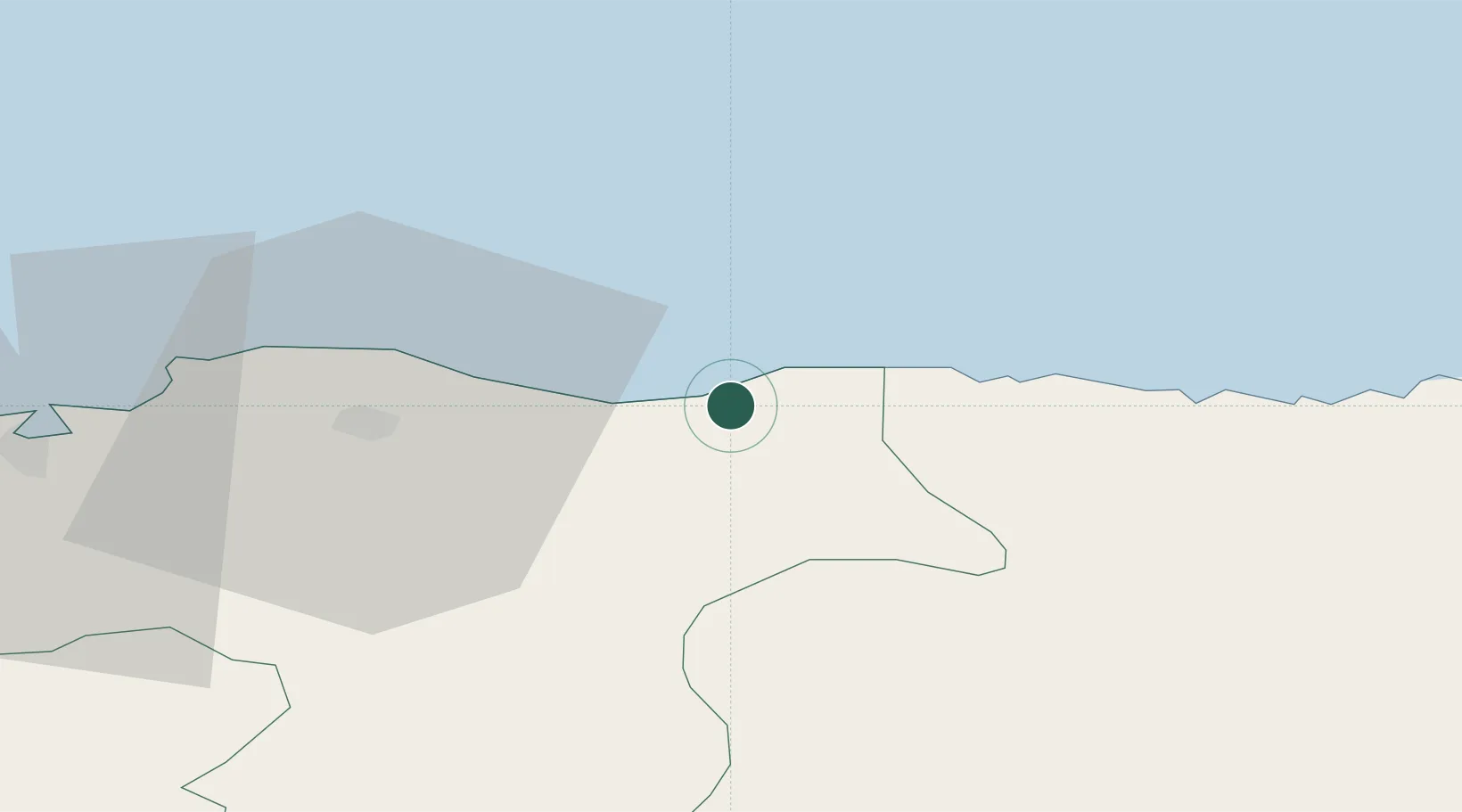
Location
Nearby Logistics Neighbours
Cities
- 1Portgordon3 km
- 2Findochty5 km
- 3Portknockie7 km
- 4Portsoy17 km
- 5Lossiemouth19 km
Ports
- 1Lossiemouth20 km
- 2Macduff28 km
- 3Burghead32 km
- 4Portmahomack Harbor55 km
- 5Fraserburgh Harbor58 km
Airports
- 1RAF Lossiemouth23 km
- 2Inverness Airport66 km
- 3Aberdeen International Airport69 km
- 4Wick John O'Groats Airport88 km
- 5Dundee Airport135 km
Trade Zones
DatabookThe Record of Consolidated Knowledge
United Kingdom beyond logistics?